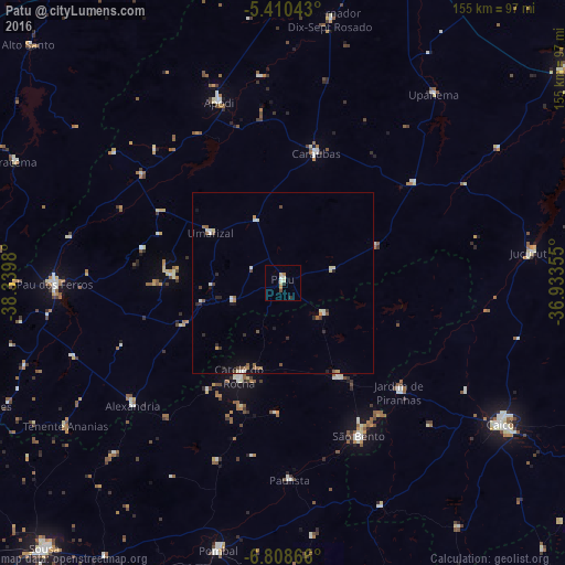
Patu night lights from space
Night Light of Patu (Rio Grande do Norte) from space (Brazil) Src. Average luminocity for 10x10km area is 7.7479% and for 50x50km: 2.1432%.
Analysis of Patu night lights 2016
Square area 10x10 km:
 0.62%
0.62%90-99
2.07%80-89
1.03%70-79
1.86%60-69
1.03%50-59
0%40-49
0.83%30-39
0%20-29
1.65%10-19
0%0-9
90.91%Square area 50x50 km:
0.18%90-99
0.45%80-89
0.21%70-79
0.21%60-69
0.23%50-59
0.41%40-49
0.3%30-39
0.12%20-29
0.6%10-19
0.45%0-9
96.84%Clear (daylight) street map image can be seen on geolist.org.
Map coordinates:
5° 24' 37.5" South, 38° 20' 23.3" West
6° 6' 36" South, 37° 38' 12" West
6° 48' 31.2" South, 36° 56' 0.8" West
Some cities around Patu sort by population:
• São Bento
23 km =14.3 mi,  213°
213°
• Catolé do Rocha
28.7 km =17.8 mi, 205°
• Apodi
52.7 km =32.7 mi,  340°
340°
• Caraúbas
36.4 km =22.6 mi,  14°
14°
• Jardim de Piranhas
43.4 km =27 mi,  133°
133°
• Alexandria
53.7 km =33.4 mi,  231°
231°
• Umarizal
23.7 km =14.7 mi,  304°
304°
• Belém do Brejo do Cruz
14.2 km =8.8 mi, 128°
3392862 (p: 8,841)
Sources (retrieved 2019-11-25):
» Earth at Night: Flat Maps 2012, 2016