Caraúbas night lights from space
Night Light of Caraúbas (Rio Grande do Norte) from space (Brazil) Src. Average luminocity for 10x10km area is 10.6074% and for 50x50km: 1.1454%.
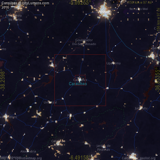
Analysis of Caraúbas night lights 2016
Square area 10x10 km:
 1.86%
1.86%90-99
3.1%80-89
0%70-79
0%60-69
2.07%50-59
2.89%40-49
0.83%30-39
0.83%20-29
0%10-19
0.83%0-9
87.6%Square area 50x50 km:
0.11%90-99
0.25%80-89
0%70-79
0.03%60-69
0.16%50-59
0.27%40-49
0.2%30-39
0.21%20-29
0.33%10-19
0.24%0-9
98.21%Clear (daylight) street map image can be seen on geolist.org.
Map coordinates:
5° 5' 33.2" South, 38° 15' 35.3" West
5° 47' 33" South, 37° 33' 24" West
6° 29' 29.7" South, 36° 51' 12.8" West
Some cities around Caraúbas sort by population:
• São Bento
58.6 km =36.4 mi,  201°
201°
• Catolé do Rocha
64.8 km =40.3 mi, 198°
• Apodi
30.4 km =18.9 mi,  298°
298°
• Patu
36.4 km =22.6 mi,  194°
194°
• Umarizal
36 km =22.4 mi,  232°
232°
• Belém do Brejo do Cruz
44.1 km =27.4 mi,  177°
177°
• Upanema
37.1 km =23.1 mi,  63°
63°
• Governador Dix Sept Rosado
37.3 km =23.2 mi,  6°
6°
3402944 (p: 12,462)
Sources (retrieved 2019-11-25):
» Earth at Night: Flat Maps 2012, 2016