Caçapava do Sul night lights from space
Night Light of Caçapava do Sul (Rio Grande do Sul) from space (Brazil) Src. Average luminocity for 10x10km area is 15.2436% and for 50x50km: 0.7027%.
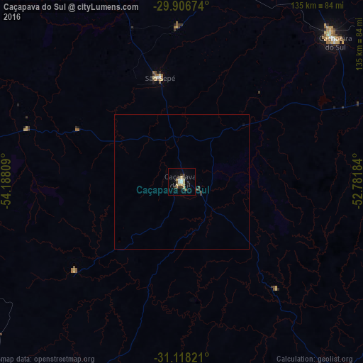
Analysis of Caçapava do Sul night lights 2016
Square area 10x10 km:
 1.65%
1.65%90-99
1.28%80-89
4.4%70-79
2.2%60-69
0.73%50-59
0.73%40-49
1.28%30-39
4.95%20-29
1.1%10-19
2.01%0-9
79.67%Square area 50x50 km:
0.07%90-99
0.05%80-89
0.17%70-79
0.09%60-69
0.03%50-59
0.04%40-49
0.11%30-39
0.24%20-29
0.07%10-19
0.11%0-9
99.02%Clear (daylight) street map image can be seen on geolist.org.
Map coordinates:
29° 54' 24.3" South, 54° 11' 17.1" West
30° 30' 51.7" South, 53° 29' 5.9" West
31° 7' 5.6" South, 52° 46' 54.6" West
Some cities around Caçapava do Sul sort by population:
• Santa Maria
97.4 km =60.5 mi,  341°
341°
• Bagé
108.5 km =67.4 mi,  213°
213°
• Cachoeira do Sul
77.5 km =48.2 mi,  47°
47°
• São Gabriel
82.5 km =51.3 mi,  283°
283°
• Candelária
115.4 km =71.7 mi,  35°
35°
• São Sepé
40.1 km =24.9 mi,  348°
348°
• Encruzilhada do Sul
92.3 km =57.4 mi,  92°
92°
• Pinheiro Machado
118.7 km =73.8 mi,  175°
175°
3468560 (p: 17,522)
Sources (retrieved 2019-11-25):
» Earth at Night: Flat Maps 2012, 2016