Poxoréo night lights from space
Night Light of Poxoréo (Mato Grosso) from space (Brazil) Src. Average luminocity for 10x10km area is 5.8377% and for 50x50km: 0.3256%.
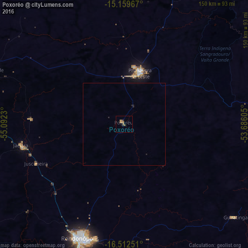
Analysis of Poxoréo night lights 2016
Square area 10x10 km:
 0%
0%90-99
0%80-89
0.22%70-79
2.16%60-69
3.68%50-59
0%40-49
0.87%30-39
0.87%20-29
0%10-19
0.87%0-9
91.34%Square area 50x50 km:
0%90-99
0%80-89
0.01%70-79
0.08%60-69
0.14%50-59
0%40-49
0.03%30-39
0.03%20-29
0.16%10-19
0.03%0-9
99.51%Clear (daylight) street map image can be seen on geolist.org.
Map coordinates:
15° 9' 34.8" South, 55° 5' 32.3" West
15° 50' 14" South, 54° 23' 21" West
16° 30' 45" South, 53° 41' 9.8" West
Some cities around Poxoréo sort by population:
• Cuiabá
184.7 km =114.8 mi,  278°
278°
• Várzea Grande
187.8 km =116.7 mi, 276°
• Rondonópolis
75.2 km =46.7 mi,  200°
200°
• Lucas
173.9 km =108.1 mi,  251°
251°
• Jaciara
63.5 km =39.5 mi,  257°
257°
• Chapada dos Guimarães
151.6 km =94.2 mi,  286°
286°
• Guiratinga
87.7 km =54.5 mi,  130°
130°
• Santo Antônio do Leverger
180.5 km =112.2 mi,  268°
268°
3452490 (p: 12,475)
Sources (retrieved 2019-11-25):
» Earth at Night: Flat Maps 2012, 2016