Cuiabá night lights from space
Night Light of Cuiabá (Mato Grosso) from space (Brazil) Src. Average luminocity for 10x10km area is 95.2641% and for 50x50km: 20.9854%.
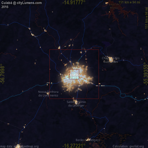
Analysis of Cuiabá night lights 2016
Square area 10x10 km:
 43.51%
90-99
38.31%80-89
10.61%70-79
5.63%60-69
1.3%50-59
0.43%40-49
0.22%30-39
0%20-29
0%10-19
0%0-9
0%Square area 50x50 km:
4.16%90-99
3.99%80-89
2.34%70-79
3.58%60-69
2.81%50-59
2.67%40-49
3.8%30-39
2.29%20-29
3.53%10-19
6.86%0-9
63.98%Clear (daylight) street map image can be seen on geolist.org.
Map coordinates:
14° 55' 4" South, 56° 47' 59.3" West
15° 35' 46" South, 56° 5' 48" West
16° 16' 20" South, 55° 23' 36.8" West
Some cities around Cuiabá sort by population:
• Várzea Grande
6.8 km =4.2 mi,  214°
214°
• Lucas
83.8 km =52.1 mi,  167°
167°
• Jaciara
127.5 km =79.2 mi,  108°
108°
• Poconé
92.5 km =57.5 mi,  217°
217°
• Chapada dos Guimarães
40.1 km =24.9 mi,  67°
67°
• Nobres
100.5 km =62.4 mi,  345°
345°
• Rosário Oeste
91.7 km =57 mi,  337°
337°
• Santo Antônio do Leverger
30 km =18.6 mi,  175°
175°
3465038 (p: 521,934)
Sources (retrieved 2019-11-25):
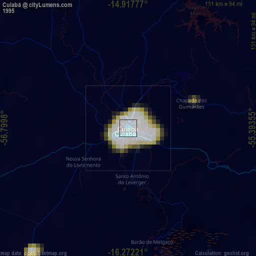
» NASA, Earths city lights 1995
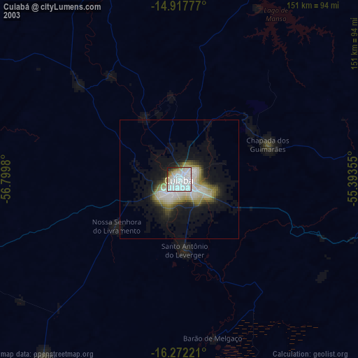
» NASA city lights 2003
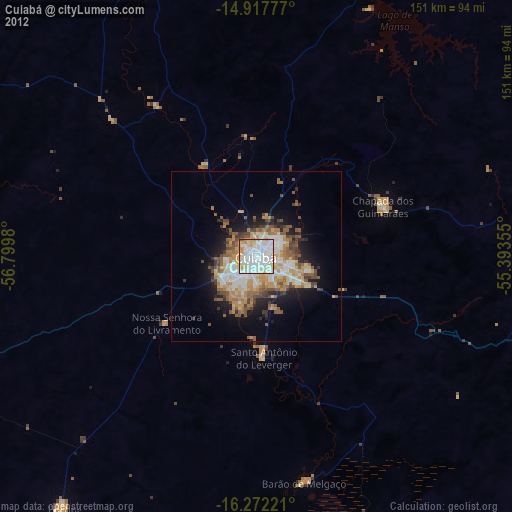
» Earth at Night: Flat Maps 2012, 2016