Jaciara night lights from space
Night Light of Jaciara (Mato Grosso) from space (Brazil) Src. Average luminocity for 10x10km area is 16.3285% and for 50x50km: 1.2006%.
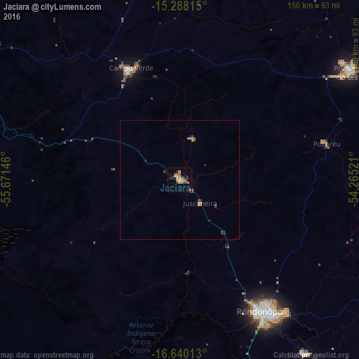
Analysis of Jaciara night lights 2016
Square area 10x10 km:
 0%
0%90-99
0.83%80-89
1.65%70-79
4.96%60-69
5.17%50-59
3.93%40-49
1.86%30-39
1.03%20-29
0.83%10-19
0.83%0-9
78.93%Square area 50x50 km:
0%90-99
0.03%80-89
0.12%70-79
0.35%60-69
0.31%50-59
0.26%40-49
0.22%30-39
0.13%20-29
0.23%10-19
0.07%0-9
98.28%Clear (daylight) street map image can be seen on geolist.org.
Map coordinates:
15° 17' 17.3" South, 55° 40' 17.3" West
15° 57' 55" South, 54° 58' 6" West
16° 38' 24.5" South, 54° 15' 54.8" West
Some cities around Jaciara sort by population:
• Cuiabá
127.5 km =79.2 mi,  288°
288°
• Várzea Grande
129.5 km =80.5 mi, 285°
• Rondonópolis
66.5 km =41.3 mi,  147°
147°
• Lucas
110.9 km =68.9 mi,  248°
248°
• Chapada dos Guimarães
100.7 km =62.6 mi,  303°
303°
• Poxoréo
63.5 km =39.5 mi,  77°
77°
• Guiratinga
135.6 km =84.3 mi,  108°
108°
• Santo Antônio do Leverger
119 km =73.9 mi,  275°
275°
3460355 (p: 22,737)
Sources (retrieved 2019-11-25):
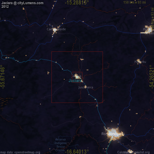
» Earth at Night: Flat Maps 2012, 2016