Ibiporã night lights from space
Night Light of Ibiporã (Paraná) from space (Brazil) Src. Average luminocity for 10x10km area is 33.3371% and for 50x50km: 12.8448%.
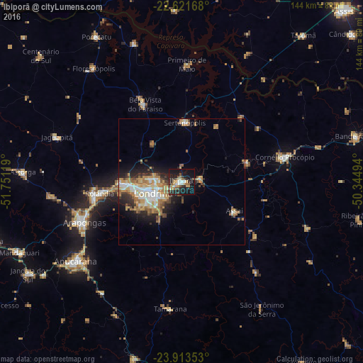
Analysis of Ibiporã night lights 2016
Square area 10x10 km:
 3.41%
3.41%90-99
4.36%80-89
2.84%70-79
5.3%60-69
4.36%50-59
6.25%40-49
3.79%30-39
5.87%20-29
12.88%10-19
39.77%0-9
11.17%Square area 50x50 km:
1.8%90-99
2.04%80-89
1.48%70-79
2.35%60-69
2.73%50-59
1.46%40-49
1.4%30-39
1.48%20-29
3.39%10-19
5.81%0-9
76.05%Clear (daylight) street map image can be seen on geolist.org.
Map coordinates:
22° 37' 18" South, 51° 45' 4.3" West
23° 16' 9" South, 51° 2' 53" West
23° 54' 48.7" South, 50° 20' 41.8" West
Some cities around Ibiporã sort by population:
• Londrina
12.6 km =7.8 mi,  248°
248°
• Arapongas
41.9 km =26 mi, 246°
• Cambé
23.5 km =14.6 mi,  268°
268°
• Rolândia
33.1 km =20.6 mi,  262°
262°
• Bela Vista do Paraíso
33.6 km =20.9 mi,  334°
334°
• Sertanópolis
23.4 km =14.5 mi,  2°
2°
• Assaí
24.1 km =15 mi,  118°
118°
• Jataizinho
7.1 km =4.4 mi,  76°
76°
3461588 (p: 44,790)
Sources (retrieved 2019-11-25):
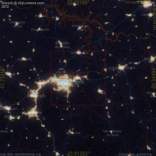
» Earth at Night: Flat Maps 2012, 2016