Ribeirão night lights from space
Night Light of Ribeirão (Pernambuco) from space (Brazil) Src. Average luminocity for 10x10km area is 12.7273% and for 50x50km: 4.2575%.
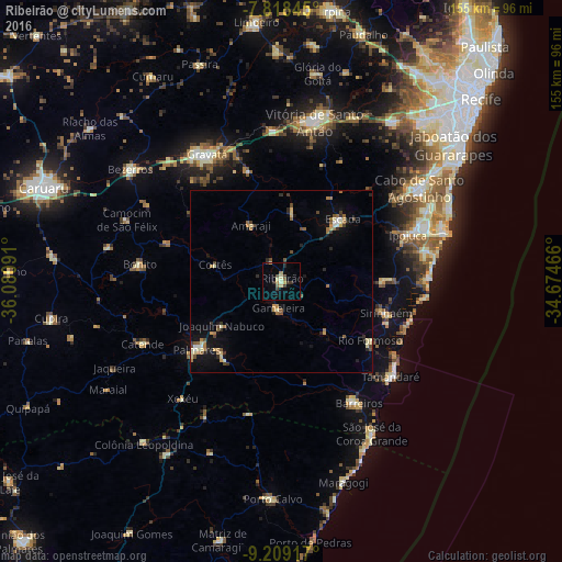
Analysis of Ribeirão night lights 2016
Square area 10x10 km:
 0%
0%90-99
0.62%80-89
4.13%70-79
1.45%60-69
0.83%50-59
2.27%40-49
1.03%30-39
3.72%20-29
2.07%10-19
2.07%0-9
81.82%Square area 50x50 km:
0.12%90-99
0.52%80-89
0.8%70-79
0.4%60-69
0.82%50-59
0.6%40-49
0.61%30-39
0.61%20-29
0.77%10-19
2.06%0-9
92.7%Clear (daylight) street map image can be seen on geolist.org.
Map coordinates:
7° 49' 6.4" South, 36° 4' 51.3" West
8° 30' 52" South, 35° 22' 40" West
9° 12' 33" South, 34° 40' 28.8" West
Some cities around Ribeirão sort by population:
• Escada
24.2 km =15 mi,  44°
44°
• Palmares
30.1 km =18.7 mi,  231°
231°
• Sirinhaém
30 km =18.6 mi,  106°
106°
• Gameleira
7.8 km =4.8 mi,  187°
187°
• Amaraji
16.8 km =10.4 mi,  330°
330°
• Água Preta
27.3 km =17 mi,  218°
218°
• Rio Formoso
29.2 km =18.1 mi,  125°
125°
• Joaquim Nabuco
21 km =13 mi, 234°
3390326 (p: 29,818)
Sources (retrieved 2019-11-25):
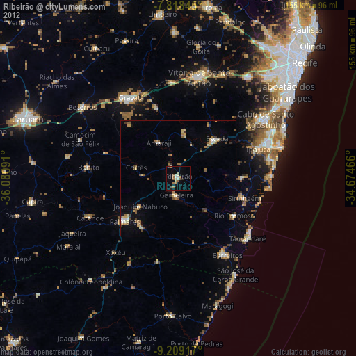
» Earth at Night: Flat Maps 2012, 2016