Palmares night lights from space
Night Light of Palmares (Pernambuco) from space (Brazil) Src. Average luminocity for 10x10km area is 22.4938% and for 50x50km: 3.7037%.
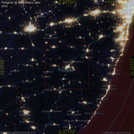
Analysis of Palmares night lights 2016
Square area 10x10 km:
 1.24%
1.24%90-99
4.34%80-89
3.51%70-79
1.65%60-69
5.79%50-59
2.69%40-49
2.27%30-39
0.83%20-29
2.48%10-19
24.79%0-9
50.41%Square area 50x50 km:
0.05%90-99
0.45%80-89
0.61%70-79
0.51%60-69
0.77%50-59
0.65%40-49
0.51%30-39
0.56%20-29
0.66%10-19
1.67%0-9
93.55%Clear (daylight) street map image can be seen on geolist.org.
Map coordinates:
7° 59' 15.5" South, 36° 17' 41.3" West
8° 40' 60" South, 35° 35' 30" West
9° 22' 39.9" South, 34° 53' 18.8" West
Some cities around Palmares sort by population:
• Catende
13.9 km =8.6 mi,  277°
277°
• Gameleira
25.1 km =15.6 mi,  63°
63°
• Água Preta
7.2 km =4.5 mi,  111°
111°
• Maraial
26.3 km =16.3 mi,  245°
245°
• Colônia Leopoldina
29 km =18 mi,  210°
210°
• Joaquim Nabuco
9.2 km =5.7 mi,  44°
44°
• Bonito
28.1 km =17.5 mi,  327°
327°
• Novo Lino
26.5 km =16.5 mi,  193°
193°
3393264 (p: 41,679)
Sources (retrieved 2019-11-25):
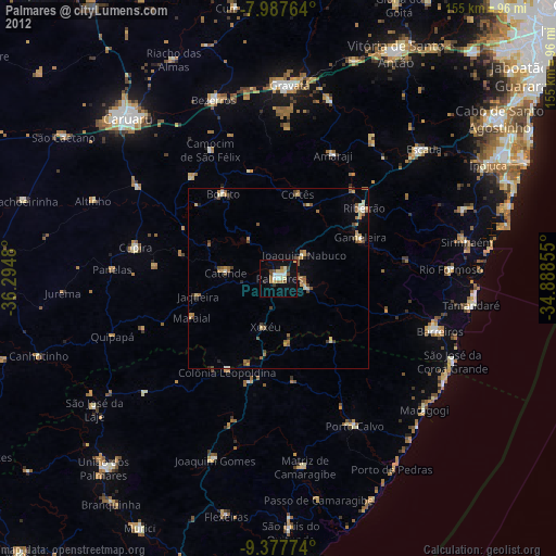
» Earth at Night: Flat Maps 2012, 2016