Escada night lights from space
Night Light of Escada (Pernambuco) from space (Brazil) Src. Average luminocity for 10x10km area is 19.936% and for 50x50km: 15.0008%.
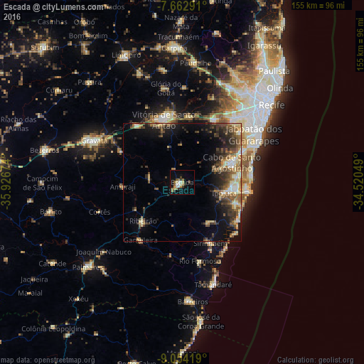
Analysis of Escada night lights 2016
Square area 10x10 km:
 1.65%
1.65%90-99
4.13%80-89
2.89%70-79
1.24%60-69
4.34%50-59
3.1%40-49
1.65%30-39
2.69%20-29
1.65%10-19
9.92%0-9
66.74%Square area 50x50 km:
0.82%90-99
1.71%80-89
2.82%70-79
1.57%60-69
2.26%50-59
3.38%40-49
2.81%30-39
3.35%20-29
3.59%10-19
7.38%0-9
70.31%Clear (daylight) street map image can be seen on geolist.org.
Map coordinates:
7° 39' 46.5" South, 35° 55' 36.3" West
8° 21' 33" South, 35° 13' 25" West
9° 3' 15.1" South, 34° 31' 13.8" West
Some cities around Escada sort by population:
• Cabo
22.6 km =14 mi,  68°
68°
• Vitória de Santo Antão
27.8 km =17.3 mi,  344°
344°
• Ipojuca
18.1 km =11.2 mi,  104°
104°
• Moreno
30.4 km =18.9 mi,  28°
28°
• Sirinhaém
28.3 km =17.6 mi,  155°
155°
• Ribeirão
24.2 km =15 mi,  224°
224°
• Chã Grande
29.4 km =18.3 mi,  297°
297°
• Amaraji
25.3 km =15.7 mi,  263°
263°
3400804 (p: 48,083)
Sources (retrieved 2019-11-25):
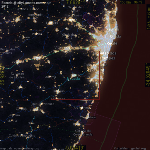
» Earth at Night: Flat Maps 2012, 2016