União dos Palmares night lights from space
Night Light of União dos Palmares (Alagoas) from space (Brazil) Src. Average luminocity for 10x10km area is 31.2056% and for 50x50km: 4.0946%.
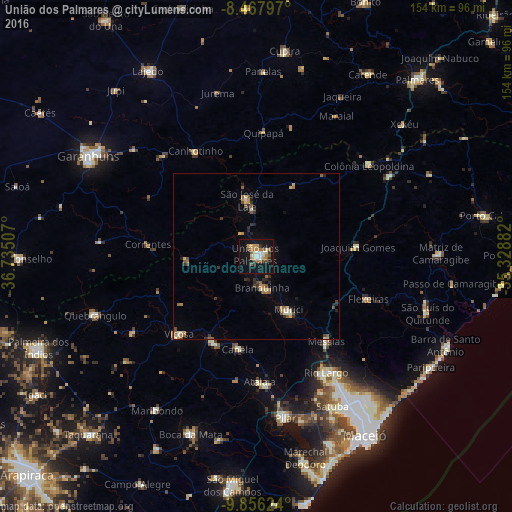
Analysis of União dos Palmares night lights 2016
Square area 10x10 km:
 2.81%
2.81%90-99
6.06%80-89
4.55%70-79
2.6%60-69
7.14%50-59
5.41%40-49
3.03%30-39
2.16%20-29
1.73%10-19
38.1%0-9
26.41%Square area 50x50 km:
0.17%90-99
0.55%80-89
0.55%70-79
0.47%60-69
0.71%50-59
0.81%40-49
0.39%30-39
0.57%20-29
0.76%10-19
2.42%0-9
92.6%Clear (daylight) street map image can be seen on geolist.org.
Map coordinates:
8° 28' 4.7" South, 36° 44' 6.3" West
9° 9' 46" South, 36° 1' 55" West
9° 51' 22.5" South, 35° 19' 43.8" West
Some cities around União dos Palmares sort by population:
• Murici
18.7 km =11.6 mi,  148°
148°
• Viçosa
32.6 km =20.3 mi,  224°
224°
• São José da Laje
17.3 km =10.7 mi,  350°
350°
• Capela
27.6 km =17.1 mi,  189°
189°
• Messias
32.2 km =20 mi,  139°
139°
• Ibateguara
23.5 km =14.6 mi,  25°
25°
• Flexeiras
27.8 km =17.3 mi,  97°
97°
• Santana do Mundaú
20.9 km =13 mi,  268°
268°
3385742 (p: 41,178)
Sources (retrieved 2019-11-25):
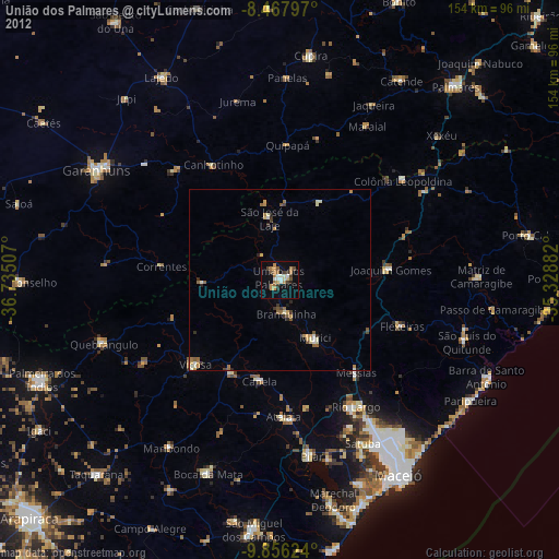
» Earth at Night: Flat Maps 2012, 2016