São Mateus do Sul night lights from space
Night Light of São Mateus do Sul (Paraná) from space (Brazil) Src. Average luminocity for 10x10km area is 23.0966% and for 50x50km: 1.2117%.
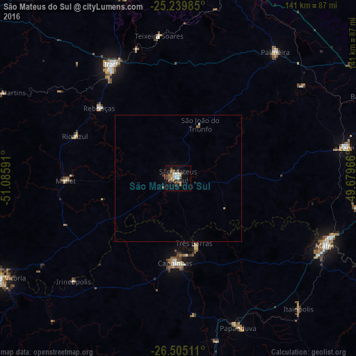
Analysis of São Mateus do Sul night lights 2016
Square area 10x10 km:
 3.41%
3.41%90-99
2.65%80-89
3.6%70-79
2.08%60-69
2.65%50-59
6.06%40-49
3.03%30-39
2.84%20-29
1.52%10-19
17.61%0-9
54.55%Square area 50x50 km:
0.14%90-99
0.12%80-89
0.16%70-79
0.12%60-69
0.16%50-59
0.32%40-49
0.12%30-39
0.15%20-29
0.09%10-19
0.73%0-9
97.89%Clear (daylight) street map image can be seen on geolist.org.
Map coordinates:
25° 14' 23.5" South, 51° 5' 9.3" West
25° 52' 27" South, 50° 22' 58" West
26° 30' 18.4" South, 49° 40' 46.8" West
Some cities around São Mateus do Sul sort by population:
• Irati
52.6 km =32.7 mi,  329°
329°
• Mafra
63.5 km =39.5 mi,  114°
114°
• Canoinhas
33.7 km =20.9 mi,  181°
181°
• Lapa
67.8 km =42.1 mi,  80°
80°
• Rio Negro
63.9 km =39.7 mi, 113°
• Imbituva
75 km =46.6 mi,  342°
342°
• Palmeira
62.2 km =38.6 mi,  37°
37°
• Três Barras
26.5 km =16.5 mi,  166°
166°
3448502 (p: 24,904)
Sources (retrieved 2019-11-25):
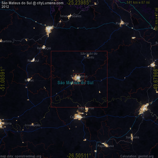
» Earth at Night: Flat Maps 2012, 2016