Nortelândia night lights from space
Night Light of Nortelândia (Mato Grosso) from space (Brazil) Src. Average luminocity for 10x10km area is 11.6342% and for 50x50km: 0.8204%.
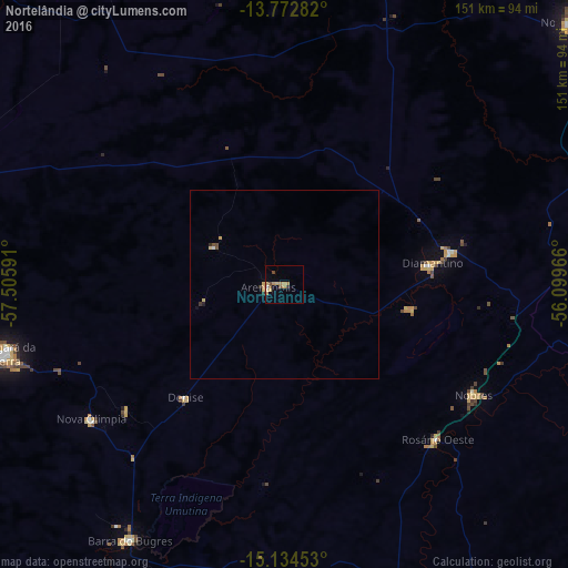
Analysis of Nortelândia night lights 2016
Square area 10x10 km:
 0.43%
0.43%90-99
0.65%80-89
3.25%70-79
3.03%60-69
2.16%50-59
1.52%40-49
1.95%30-39
0.87%20-29
0%10-19
0.22%0-9
85.93%Square area 50x50 km:
0.05%90-99
0.03%80-89
0.23%70-79
0.21%60-69
0.09%50-59
0.08%40-49
0.16%30-39
0.12%20-29
0.05%10-19
0.07%0-9
98.93%Clear (daylight) street map image can be seen on geolist.org.
Map coordinates:
13° 46' 22.2" South, 57° 30' 21.3" West
14° 27' 17" South, 56° 48' 10" West
15° 8' 4.3" South, 56° 5' 58.8" West
Some cities around Nortelândia sort by population:
• Cuiabá
147.8 km =91.8 mi,  149°
149°
• Várzea Grande
150.8 km =93.7 mi, 151°
• Barra do Bugres
79.8 km =49.6 mi,  210°
210°
• Nova Olímpia
64.6 km =40.1 mi,  233°
233°
• Diamantino
38.7 km =24 mi,  82°
82°
• Nobres
59.1 km =36.7 mi,  120°
120°
• Rosário Oeste
58.6 km =36.4 mi,  136°
136°
• Arenápolis
4.7 km =2.9 mi,  276°
276°
3456248 (p: 9,634)
Sources (retrieved 2019-11-25):
» Earth at Night: Flat Maps 2012, 2016