Montes Claros night lights from space
Night Light of Montes Claros (Minas Gerais) from space (Brazil) Src. Average luminocity for 10x10km area is 81.342% and for 50x50km: 6.1688%.
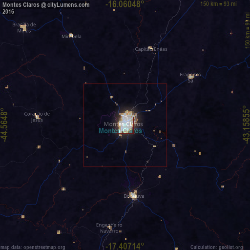

Analysis of Montes Claros night lights 2016
Square area 10x10 km:
 37.88%
90-99
22.94%80-89
11.04%70-79
4.98%60-69
3.03%50-59
0.65%40-49
5.41%30-39
2.16%20-29
11.26%10-19
0.65%0-9
0%Square area 50x50 km:
1.76%90-99
1.17%80-89
0.91%70-79
0.4%60-69
0.44%50-59
0.2%40-49
0.6%30-39
0.53%20-29
1.84%10-19
3.99%0-9
88.16%Clear (daylight) street map image can be seen on geolist.org.
Map coordinates:
16° 3' 37.7" South, 44° 33' 53.3" West
16° 44' 6" South, 43° 51' 42" West
17° 24' 25.7" South, 43° 9' 30.8" West
Some cities around Montes Claros sort by population:
• Janaúba
119.3 km =74.1 mi,  29°
29°
• Bocaiúva
41.7 km =25.9 mi,  173°
173°
• Brasília de Minas
84.7 km =52.6 mi,  313°
313°
• Francisco Sá
49.1 km =30.5 mi,  54°
54°
• Coração de Jesus
53.9 km =33.5 mi,  275°
275°
• Mirabela
61.6 km =38.3 mi,  328°
328°
• São João da Ponte
90.9 km =56.5 mi,  350°
350°
• Varzelândia
116.3 km =72.3 mi, 351°
3456814 (p: 332,379)
Sources (retrieved 2019-11-25):
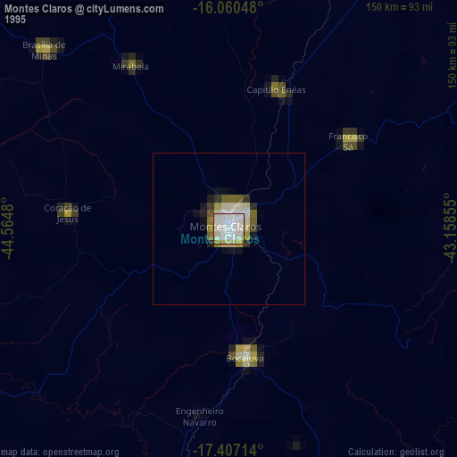
» NASA, Earths city lights 1995
» NASA city lights 2003
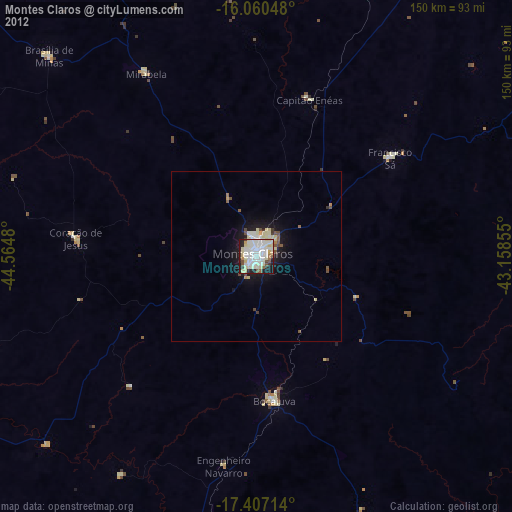
» Earth at Night: Flat Maps 2012, 2016