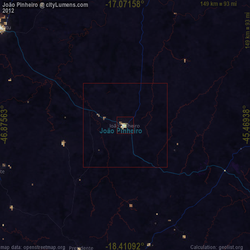
João Pinheiro night lights from space
Night Light of João Pinheiro (Minas Gerais) from space (Brazil) Src. Average luminocity for 10x10km area is 19.5801% and for 50x50km: 0.9682%.
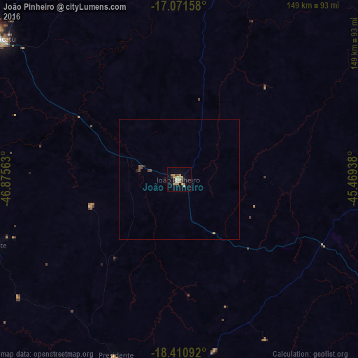
Analysis of João Pinheiro night lights 2016
Square area 10x10 km:
 0.22%
0.22%90-99
2.6%80-89
1.73%70-79
8.23%60-69
3.68%50-59
2.6%40-49
1.3%30-39
1.95%20-29
0.87%10-19
3.25%0-9
73.59%Square area 50x50 km:
0.01%90-99
0.1%80-89
0.07%70-79
0.34%60-69
0.14%50-59
0.18%40-49
0.2%30-39
0.07%20-29
0.1%10-19
0.12%0-9
98.67%Clear (daylight) street map image can be seen on geolist.org.
Map coordinates:
17° 4' 17.7" South, 46° 52' 32.3" West
17° 44' 33" South, 46° 10' 21" West
18° 24' 39.3" South, 45° 28' 9.8" West
Some cities around João Pinheiro sort by population:
• Patos de Minas
99.9 km =62.1 mi,  201°
201°
• Paracatu
94.3 km =58.6 mi,  307°
307°
• Pirapora
137.7 km =85.6 mi,  71°
71°
• Buritizeiro
135.5 km =84.2 mi, 71°
• Coromandel
135.7 km =84.3 mi,  233°
233°
• Vazante
82.4 km =51.2 mi,  250°
250°
• Presidente Olegário
79.4 km =49.3 mi, 199°
• Lagoa Formosa
117.8 km =73.2 mi,  192°
192°
3459785 (p: 28,080)
Sources (retrieved 2019-11-25):
» Earth at Night: Flat Maps 2012, 2016