Piraju night lights from space
Night Light of Piraju (São Paulo) from space (Brazil) Src. Average luminocity for 10x10km area is 15.7955% and for 50x50km: 2.5192%.
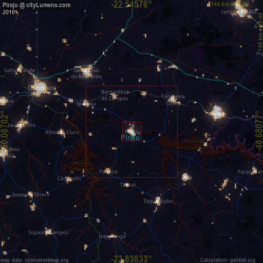
Analysis of Piraju night lights 2016
Square area 10x10 km:
 1.52%
1.52%90-99
3.03%80-89
1.52%70-79
2.08%60-69
2.08%50-59
2.08%40-49
3.22%30-39
1.7%20-29
0.38%10-19
3.41%0-9
78.98%Square area 50x50 km:
0.2%90-99
0.27%80-89
0.24%70-79
0.57%60-69
0.48%50-59
0.42%40-49
0.31%30-39
0.37%20-29
0.27%10-19
0.31%0-9
96.56%Clear (daylight) street map image can be seen on geolist.org.
Map coordinates:
22° 32' 44.7" South, 50° 5' 13.3" West
23° 11' 37" South, 49° 23' 2" West
23° 50' 18" South, 48° 40' 50.8" West
Some cities around Piraju sort by population:
• Santa Cruz do Rio Pardo
41.5 km =25.8 mi,  322°
322°
• Itaí
39 km =24.2 mi,  129°
129°
• Taquarituba
40.3 km =25 mi,  159°
159°
• Cerqueira César
28.4 km =17.6 mi,  51°
51°
• Fartura
25.2 km =15.7 mi,  210°
210°
• Ipauçu
29.1 km =18.1 mi,  301°
301°
• Chavantes
37.5 km =23.3 mi, 297°
• Bernardino de Campos
22.1 km =13.7 mi,  335°
335°
3453610 (p: 25,270)
Sources (retrieved 2019-11-25):
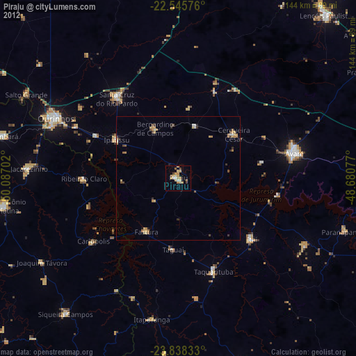
» Earth at Night: Flat Maps 2012, 2016