Taquarituba night lights from space
Night Light of Taquarituba (São Paulo) from space (Brazil) Src. Average luminocity for 10x10km area is 13.4206% and for 50x50km: 1.6754%.
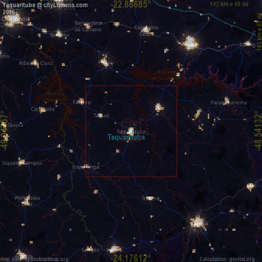
Analysis of Taquarituba night lights 2016
Square area 10x10 km:
 1.98%
1.98%90-99
1.19%80-89
1.59%70-79
3.57%60-69
1.98%50-59
0.6%40-49
2.18%30-39
0.79%20-29
0%10-19
2.58%0-9
83.53%Square area 50x50 km:
0.17%90-99
0.17%80-89
0.09%70-79
0.4%60-69
0.3%50-59
0.25%40-49
0.26%30-39
0.25%20-29
0.06%10-19
0.21%0-9
97.83%Clear (daylight) street map image can be seen on geolist.org.
Map coordinates:
22° 53' 12.7" South, 49° 56' 51.3" West
23° 31' 59" South, 49° 14' 40" West
24° 10' 34" South, 48° 32' 28.8" West
Some cities around Taquarituba sort by population:
• Avaré
58.2 km =36.2 mi,  33°
33°
• Piraju
40.3 km =25 mi,  339°
339°
• Itaí
20.3 km =12.6 mi,  50°
50°
• Paranapanema
55.5 km =34.5 mi,  72°
72°
• Cerqueira César
55.9 km =34.7 mi,  8°
8°
• Fartura
31.5 km =19.6 mi,  300°
300°
• Itaberá
38.2 km =23.7 mi,  163°
163°
• Itaporanga
31.7 km =19.7 mi,  232°
232°
3446752 (p: 21,492)
Sources (retrieved 2019-11-25):
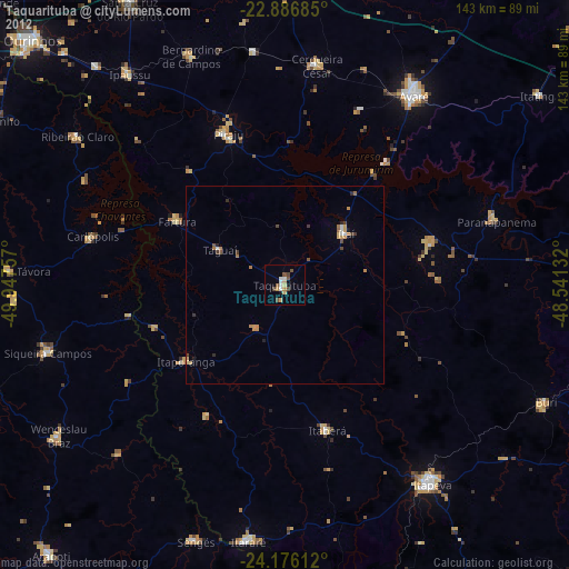
» Earth at Night: Flat Maps 2012, 2016