Patos de Minas night lights from space
Night Light of Patos de Minas (Minas Gerais) from space (Brazil) Src. Average luminocity for 10x10km area is 53.0847% and for 50x50km: 3.8929%.
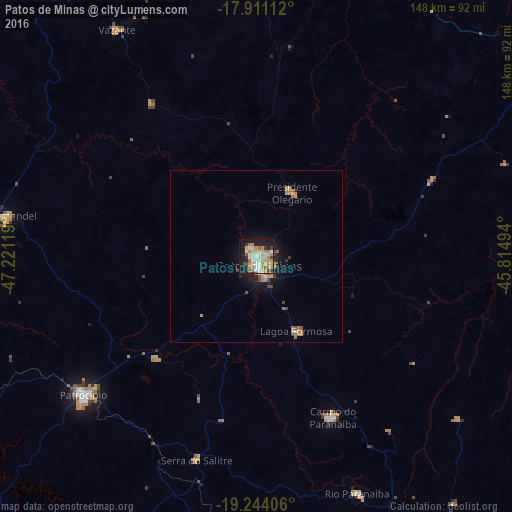
Analysis of Patos de Minas night lights 2016
Square area 10x10 km:
 7.23%
7.23%90-99
13.22%80-89
10.12%70-79
13.43%60-69
5.17%50-59
4.13%40-49
3.72%30-39
3.72%20-29
9.3%10-19
28.1%0-9
1.86%Square area 50x50 km:
0.31%90-99
0.63%80-89
0.41%70-79
1.01%60-69
0.64%50-59
0.34%40-49
0.42%30-39
0.38%20-29
0.59%10-19
3.12%0-9
92.15%Clear (daylight) street map image can be seen on geolist.org.
Map coordinates:
17° 54' 40" South, 47° 13' 16.3" West
18° 34' 44" South, 46° 31' 5" West
19° 14' 38.6" South, 45° 48' 53.8" West
Some cities around Patos de Minas sort by population:
• Patrocínio
64.4 km =40 mi,  230°
230°
• São Gotardo
95.2 km =59.2 mi,  148°
148°
• João Pinheiro
99.9 km =62.1 mi,  21°
21°
• Carmo do Paranaíba
51.5 km =32 mi,  155°
155°
• Coromandel
72.9 km =45.3 mi,  279°
279°
• Vazante
77.6 km =48.2 mi,  327°
327°
• Presidente Olegário
20.8 km =12.9 mi,  30°
30°
• Lagoa Formosa
25.1 km =15.6 mi, 152°
3454783 (p: 126,234)
Sources (retrieved 2019-11-25):
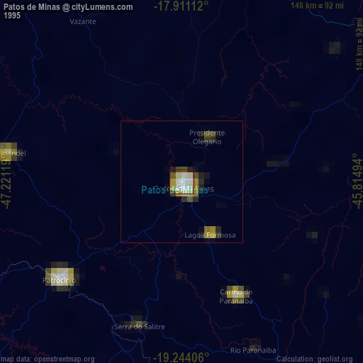
» NASA, Earths city lights 1995
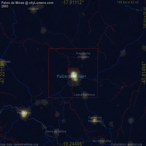
» NASA city lights 2003
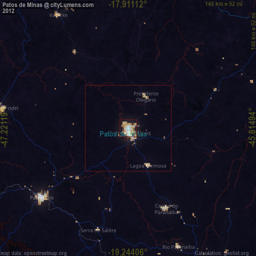
» Earth at Night: Flat Maps 2012, 2016