São Gotardo night lights from space
Night Light of São Gotardo (Minas Gerais) from space (Brazil) Src. Average luminocity for 10x10km area is 15.671% and for 50x50km: 1.3773%.
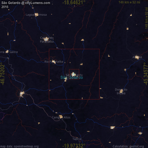
Analysis of São Gotardo night lights 2016
Square area 10x10 km:
 1.3%
1.3%90-99
3.9%80-89
1.95%70-79
2.38%60-69
1.73%50-59
1.08%40-49
1.52%30-39
2.6%20-29
1.73%10-19
0%0-9
81.82%Square area 50x50 km:
0.07%90-99
0.19%80-89
0.1%70-79
0.46%60-69
0.14%50-59
0.06%40-49
0.35%30-39
0.19%20-29
0.14%10-19
0.05%0-9
98.23%Clear (daylight) street map image can be seen on geolist.org.
Map coordinates:
18° 38' 46.4" South, 46° 45' 7.3" West
19° 18' 40" South, 46° 2' 56" West
19° 58' 24" South, 45° 20' 44.8" West
Some cities around São Gotardo sort by population:
• Carmo do Paranaíba
44.5 km =27.7 mi,  320°
320°
• Abaeté
65.5 km =40.7 mi,  75°
75°
• Bambuí
77.7 km =48.3 mi,  174°
174°
• Ibiá
54.7 km =34 mi,  250°
250°
• Luz
66.5 km =41.3 mi,  145°
145°
• Dores do Indaiá
49.9 km =31 mi,  109°
109°
• Campos Altos
44.7 km =27.8 mi,  196°
196°
• Lagoa Formosa
70.2 km =43.6 mi,  327°
327°
3449053 (p: 34,145)
Sources (retrieved 2019-11-25):
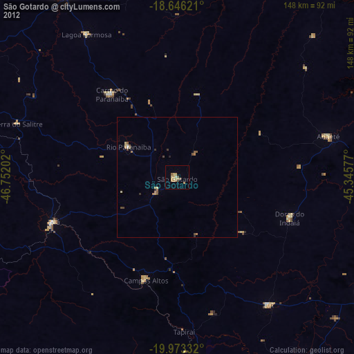
» Earth at Night: Flat Maps 2012, 2016