Oliveira dos Brejinhos night lights from space
Night Light of Oliveira dos Brejinhos (Bahia) from space (Brazil) Src. Average luminocity for 10x10km area is 8.1653% and for 50x50km: 0.4849%.
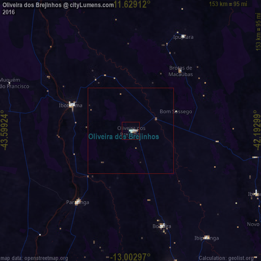
Analysis of Oliveira dos Brejinhos night lights 2016
Square area 10x10 km:
 1.65%
1.65%90-99
2.69%80-89
0.62%70-79
0.41%60-69
1.24%50-59
0%40-49
0.83%30-39
0.83%20-29
0.83%10-19
0%0-9
90.91%Square area 50x50 km:
0.07%90-99
0.11%80-89
0.03%70-79
0.02%60-69
0.08%50-59
0.09%40-49
0.11%30-39
0.07%20-29
0.1%10-19
0%0-9
99.33%Clear (daylight) street map image can be seen on geolist.org.
Map coordinates:
11° 37' 44.8" South, 43° 35' 57.3" West
12° 19' 1" South, 42° 53' 46" West
13° 0' 10.7" South, 42° 11' 34.8" West
Some cities around Oliveira dos Brejinhos sort by population:
• Bom Jesus da Lapa
118.7 km =73.8 mi,  208°
208°
• Ibotirama
38.2 km =23.7 mi,  292°
292°
• Seabra
122.8 km =76.3 mi,  95°
95°
• Macaúbas
81 km =50.3 mi,  164°
164°
• Ibipeba
122.1 km =75.9 mi,  52°
52°
• Barro Alto
123.6 km =76.8 mi,  59°
59°
• Paratinga
52 km =32.3 mi,  216°
216°
• Boquira
59.1 km =36.7 mi, 162°
3455903 (p: 5,596)
Sources (retrieved 2019-11-25):
» Earth at Night: Flat Maps 2012, 2016