Paranhos night lights from space
Night Light of Paranhos (Mato Grosso do Sul) from space (Brazil) Src. Average luminocity for 10x10km area is 5.6389% and for 50x50km: 0.3197%.
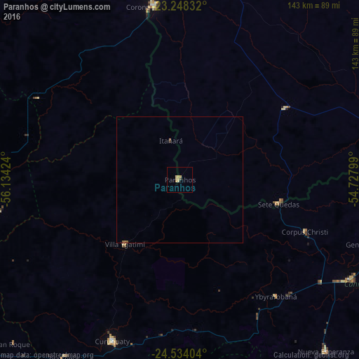
Analysis of Paranhos night lights 2016
Square area 10x10 km:
 0%
0%90-99
0%80-89
2.98%70-79
2.58%60-69
0%50-59
0%40-49
0.4%30-39
0.4%20-29
0%10-19
0%0-9
93.65%Square area 50x50 km:
0%90-99
0%80-89
0.12%70-79
0.1%60-69
0.05%50-59
0.07%40-49
0.03%30-39
0.03%20-29
0%10-19
0%0-9
99.6%Clear (daylight) street map image can be seen on geolist.org.
Map coordinates:
23° 14' 54" South, 56° 8' 3.3" West
23° 53' 34" South, 55° 25' 52" West
24° 32' 2.5" South, 54° 43' 40.8" West
Some cities around Paranhos sort by population:
• Costa Rica
95.6 km =59.4 mi,  56°
56°
• Nueva Esperanza, PY
89.9 km =55.9 mi,  139°
139°
• San Isidro de Curuguaty, PY
69.6 km =43.2 mi,  202°
202°
• Lima, PY
106.9 km =66.4 mi,  270°
270°
• Iguatemi
91.6 km =56.9 mi,  75°
75°
• Capitán Bado, PY
70.4 km =43.7 mi,  351°
351°
• Eldorado
117.3 km =72.9 mi, 84°
• Salto del Guairá, PY
115.8 km =72 mi,  99°
99°
3455049 (p: 6,516)
Sources (retrieved 2019-11-25):
» Earth at Night: Flat Maps 2012, 2016