Costa Rica night lights from space
Night Light of Costa Rica (Mato Grosso do Sul) from space (Brazil) Src. Average luminocity for 10x10km area is 0% and for 50x50km: 0.0057%.
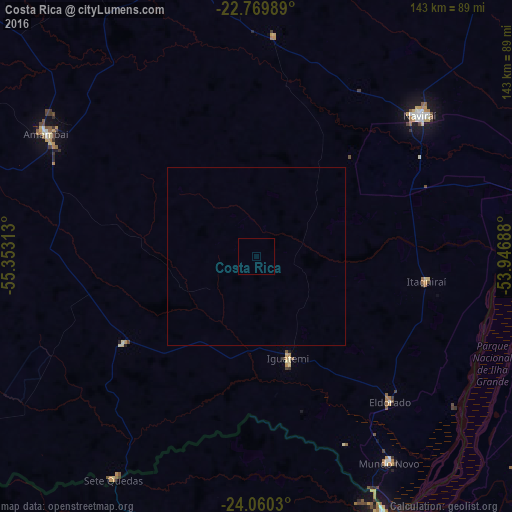
Analysis of Costa Rica night lights 2016
Square area 10x10 km:
 0%
0%90-99
0%80-89
0%70-79
0%60-69
0%50-59
0%40-49
0%30-39
0%20-29
0%10-19
0%0-9
100%Square area 50x50 km:
0%90-99
0%80-89
0%70-79
0%60-69
0%50-59
0%40-49
0%30-39
0%20-29
0%10-19
0%0-9
100%Clear (daylight) street map image can be seen on geolist.org.
Map coordinates:
22° 46' 11.6" South, 55° 21' 11.3" West
23° 25' 0" South, 54° 39' 0" West
24° 3' 37.1" South, 53° 56' 48.8" West
Some cities around Costa Rica sort by population:
• Naviraí
61.1 km =38 mi,  50°
50°
• Caarapó
88.8 km =55.2 mi,  348°
348°
• Altãnia
91.7 km =57 mi,  123°
123°
• Iguatemi
30.7 km =19.1 mi,  162°
162°
• Capitán Bado, PY
91.7 km =57 mi,  280°
280°
• Eldorado
55.6 km =34.5 mi,  137°
137°
• Salto del Guairá, PY
79.8 km =49.6 mi,  154°
154°
• Paranhos
95.6 km =59.4 mi,  236°
236°
3465303 (p: 12,930)
Sources (retrieved 2019-11-25):
» Earth at Night: Flat Maps 2012, 2016