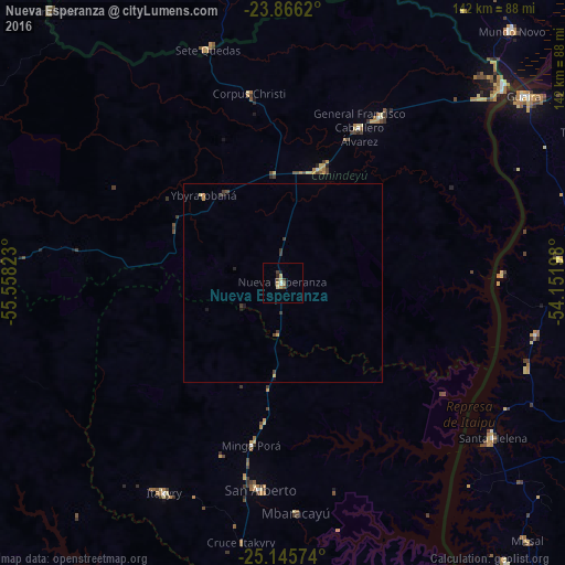
Nueva Esperanza night lights from space
Night Light of Nueva Esperanza (Canindeyú) from space (Paraguay) Src. Average luminocity for 10x10km area is 7.496% and for 50x50km: 0.6389%.
Analysis of Nueva Esperanza night lights 2016
Square area 10x10 km:
 0.4%
0.4%90-99
0.99%80-89
2.38%70-79
0.4%60-69
1.39%50-59
0.2%40-49
2.38%30-39
0.6%20-29
0.99%10-19
0.6%0-9
89.68%Square area 50x50 km:
0.02%90-99
0.04%80-89
0.14%70-79
0.13%60-69
0.06%50-59
0.01%40-49
0.19%30-39
0.28%20-29
0.11%10-19
0.13%0-9
98.91%Clear (daylight) street map image can be seen on geolist.org.
Map coordinates:
23° 51' 58.3" South, 55° 33' 29.6" West
24° 30' 27.4" South, 54° 51' 18.4" West
25° 8' 44.7" South, 54° 9' 7.1" West
Some cities around Nueva Esperanza sort by population:
• Marechal Cândido Rondon, BR
80.9 km =50.3 mi,  93°
93°
• Palotina, BR
105.8 km =65.7 mi,  76°
76°
• San Isidro de Curuguaty
84.8 km =52.7 mi,  272°
272°
• Iguatemi, BR
96.7 km =60.1 mi,  17°
17°
• Eldorado, BR
98.9 km =61.5 mi,  35°
35°
• Doctor Juan León Mallorquín
110.2 km =68.5 mi,  201°
201°
• Salto del Guairá
74.4 km =46.2 mi,  48°
48°
• Paranhos, BR
89.9 km =55.9 mi,  319°
319°
11205611 (p: 12,717)
Sources (retrieved 2019-11-25):
» Earth at Night: Flat Maps 2012, 2016