Presidente Venceslau night lights from space
Night Light of Presidente Venceslau (São Paulo) from space (Brazil) Src. Average luminocity for 10x10km area is 27.2619% and for 50x50km: 2.2447%.
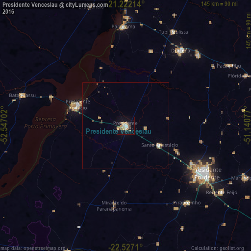
Analysis of Presidente Venceslau night lights 2016
Square area 10x10 km:
 2.98%
2.98%90-99
4.17%80-89
3.37%70-79
7.34%60-69
3.57%50-59
1.19%40-49
4.56%30-39
1.59%20-29
1.98%10-19
25.4%0-9
43.85%Square area 50x50 km:
0.19%90-99
0.23%80-89
0.25%70-79
0.49%60-69
0.26%50-59
0.11%40-49
0.54%30-39
0.25%20-29
0.25%10-19
1.26%0-9
96.17%Clear (daylight) street map image can be seen on geolist.org.
Map coordinates:
21° 13' 19.7" South, 52° 32' 49.3" West
21° 52' 34" South, 51° 50' 38" West
22° 31' 37.6" South, 51° 8' 26.8" West
Some cities around Presidente Venceslau sort by population:
• Pirapozinho
56.8 km =35.3 mi,  141°
141°
• Álvares Machado
44.5 km =27.7 mi,  120°
120°
• Santo Anastácio
24.5 km =15.2 mi,  80°
80°
• Regente Feijó
67.7 km =42.1 mi, 124°
• Panorama
57.8 km =35.9 mi,  358°
358°
• Junqueirópolis
58.4 km =36.3 mi,  46°
46°
• Tupi Paulista
61.9 km =38.5 mi,  27°
27°
• Mirante do Paranapanema
46.7 km =29 mi,  187°
187°
3452320 (p: 34,026)
Sources (retrieved 2019-11-25):
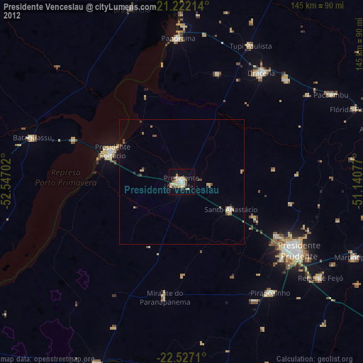
» Earth at Night: Flat Maps 2012, 2016