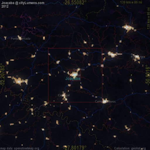
Joaçaba night lights from space
Night Light of Joaçaba (Santa Catarina) from space (Brazil) Src. Average luminocity for 10x10km area is 26.3295% and for 50x50km: 3.2332%.
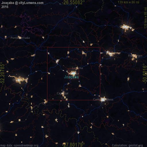
Analysis of Joaçaba night lights 2016
Square area 10x10 km:
 3.79%
3.79%90-99
3.79%80-89
0.76%70-79
2.08%60-69
9.66%50-59
3.98%40-49
1.7%30-39
3.41%20-29
0.95%10-19
28.98%0-9
40.91%Square area 50x50 km:
0.2%90-99
0.28%80-89
0.46%70-79
0.3%60-69
0.91%50-59
0.65%40-49
0.28%30-39
0.54%20-29
0.39%10-19
1.35%0-9
94.64%Clear (daylight) street map image can be seen on geolist.org.
Map coordinates:
26° 33' 3" South, 52° 12' 28.3" West
27° 10' 41" South, 51° 30' 17" West
27° 48' 6.4" South, 50° 48' 5.8" West
Some cities around Joaçaba sort by population:
• Caçador
66 km =41 mi,  47°
47°
• Concórdia
52.1 km =32.4 mi,  263°
263°
• Videira
39.7 km =24.7 mi,  61°
61°
• Palmas
91 km =56.5 mi,  328°
328°
• Capinzal
21.2 km =13.2 mi,  209°
209°
• Campos Novos
37.2 km =23.1 mi,  131°
131°
• Celso Ramos
53.4 km =33.2 mi,  161°
161°
• Sananduva
90.8 km =56.4 mi,  199°
199°
3459869 (p: 23,516)
Sources (retrieved 2019-11-25):
» Earth at Night: Flat Maps 2012, 2016