Palmas night lights from space
Night Light of Palmas (Tocantins) from space (Brazil) Src. Average luminocity for 10x10km area is 66.0248% and for 50x50km: 11.2081%.
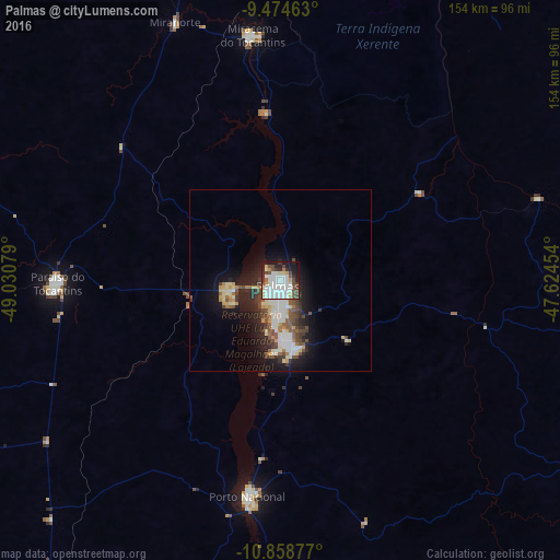
Analysis of Palmas night lights 2016
Square area 10x10 km:
 23.97%
90-99
20.25%80-89
4.55%70-79
4.96%60-69
1.65%50-59
5.17%40-49
10.33%30-39
6.61%20-29
8.26%10-19
13.84%0-9
0.41%Square area 50x50 km:
2.2%90-99
2.1%80-89
1.43%70-79
1%60-69
0.7%50-59
1.44%40-49
2.17%30-39
1.57%20-29
2.73%10-19
7.43%0-9
77.23%Clear (daylight) street map image can be seen on geolist.org.
Map coordinates:
9° 28' 28.7" South, 49° 1' 50.8" West
10° 10' 2.8" South, 48° 19' 39.6" West
10° 51' 31.6" South, 47° 37' 28.3" West
Some cities around Palmas sort by population:
• Redenção
302.6 km =188 mi,  321°
321°
• Gurupi
191.6 km =119.1 mi,  204°
204°
• Conceição do Araguaia
235.5 km =146.3 mi,  333°
333°
• Santa Luzia
306.1 km =190.2 mi,  23°
23°
• Miracema do Tocantins
67.1 km =41.7 mi,  354°
354°
• Taguatinga
323.1 km =200.8 mi,  140°
140°
• Alvorada
271.4 km =168.6 mi, 198°
• Santa Terezinha
241.5 km =150.1 mi,  261°
261°
3474574 (p: 196,272)
Sources (retrieved 2019-11-25):
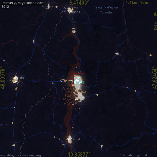
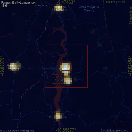
» NASA, Earths city lights 1995
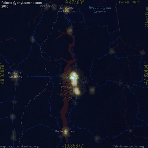
» NASA city lights 2003
» Earth at Night: Flat Maps 2012, 2016