Santa Terezinha night lights from space
Night Light of Santa Terezinha (Mato Grosso) from space (Brazil) Src. Average luminocity for 10x10km area is 4.6674% and for 50x50km: 0.1903%.
Analysis of Santa Terezinha night lights 2016
Square area 10x10 km:
 0%
0%90-99
1.65%80-89
0.83%70-79
0%60-69
0.83%50-59
0%40-49
0.83%30-39
2.07%20-29
1.24%10-19
0%0-9
92.56%Square area 50x50 km:
0%90-99
0.07%80-89
0.03%70-79
0%60-69
0.03%50-59
0%40-49
0.03%30-39
0.08%20-29
0.05%10-19
0%0-9
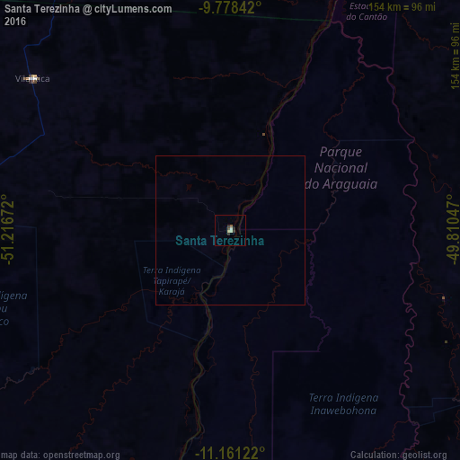
99.7%Clear (daylight) street map image can be seen on geolist.org.
Map coordinates:
9° 46' 42.3" South, 51° 13' 0.2" West
10° 28' 14.1" South, 50° 30' 48.9" West
11° 9' 40.4" South, 49° 48' 37.7" West
Some cities around Santa Terezinha sort by population:
• Palmas
241.5 km =150.1 mi,  81°
81°
• Redenção
276.6 km =171.9 mi,  11°
11°
• Gurupi
210.8 km =131 mi,  131°
131°
• Porangatu
362.1 km =225 mi,  155°
155°
• Conceição do Araguaia
280.7 km =174.4 mi,  29°
29°
• Miracema do Tocantins
253.1 km =157.3 mi,  66°
66°
• São Miguel do Araguaia
314.1 km =195.2 mi,  173°
173°
• Alvorada
269.9 km =167.7 mi,  145°
145°
3449767 (p: 7,564)
Sources (retrieved 2019-11-25):
» Earth at Night: Flat Maps 2012, 2016