Gurupi night lights from space
Night Light of Gurupi (Tocantins) from space (Brazil) Src. Average luminocity for 10x10km area is 49.9917% and for 50x50km: 2.9611%.
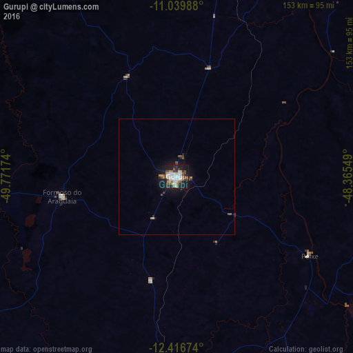
Analysis of Gurupi night lights 2016
Square area 10x10 km:
 11.57%
90-99
13.22%80-89
5.79%70-79
3.72%60-69
2.89%50-59
5.79%40-49
8.47%30-39
4.55%20-29
12.19%10-19
30.37%0-9
1.45%Square area 50x50 km:
0.47%90-99
0.54%80-89
0.32%70-79
0.27%60-69
0.15%50-59
0.32%40-49
0.61%30-39
0.27%20-29
0.66%10-19
2.89%0-9
93.49%Clear (daylight) street map image can be seen on geolist.org.
Map coordinates:
11° 2' 23.6" South, 49° 46' 18.3" West
11° 43' 45" South, 49° 4' 7" West
12° 25' 0.3" South, 48° 21' 55.8" West
Some cities around Gurupi sort by population:
• Palmas
191.6 km =119.1 mi,  24°
24°
• Porangatu
190.5 km =118.4 mi,  182°
182°
• Minaçu
220.7 km =137.1 mi,  155°
155°
• Miracema do Tocantins
251.5 km =156.3 mi, 17°
• São Miguel do Araguaia
208.9 km =129.8 mi,  214°
214°
• Arraias
267.2 km =166 mi,  120°
120°
• Alvorada
83.7 km =52 mi, 184°
• Santa Terezinha
210.8 km =131 mi,  311°
311°
3461724 (p: 64,789)
Sources (retrieved 2019-11-25):
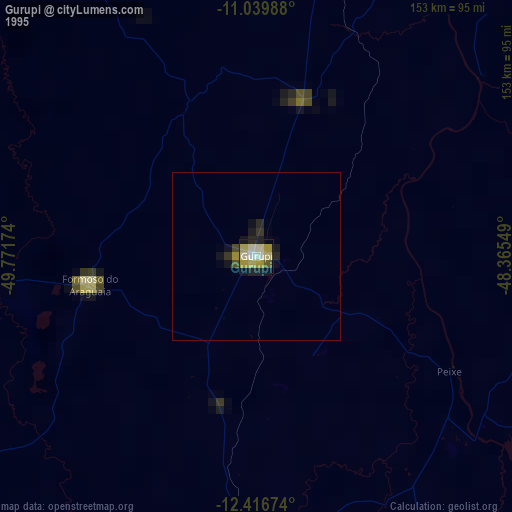
» NASA, Earths city lights 1995
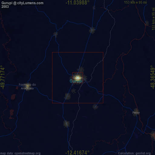
» NASA city lights 2003
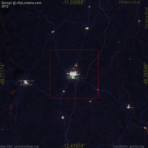
» Earth at Night: Flat Maps 2012, 2016