Jandira night lights from space
Night Light of Jandira (São Paulo) from space (Brazil) Src. Average luminocity for 10x10km area is 91.8829% and for 50x50km: 61.3549%.
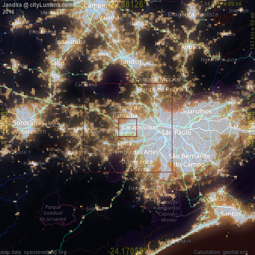

Analysis of Jandira night lights 2016
Square area 10x10 km:
 41.67%
90-99
25.79%80-89
13.1%70-79
13.49%60-69
5.95%50-59
0%40-49
0%30-39
0%20-29
0%10-19
0%0-9
0%Square area 50x50 km:
21.53%90-99
8.55%80-89
5.35%70-79
9.07%60-69
9.69%50-59
10.21%40-49
7.75%30-39
5.69%20-29
7.49%10-19
5.74%0-9
8.93%Clear (daylight) street map image can be seen on geolist.org.
Map coordinates:
22° 52' 52.5" South, 47° 36' 20.3" West
23° 31' 39" South, 46° 54' 9" West
24° 10' 14.1" South, 46° 11' 57.8" West
Some cities around Jandira sort by population:
• Osasco
11.3 km =7 mi,  92°
92°
• Carapicuíba
6.9 km =4.3 mi, 85°
• Barueri
3.3 km =2.1 mi,  55°
55°
• Embu
14.4 km =8.9 mi,  159°
159°
• Taboão da Serra
15.7 km =9.8 mi,  134°
134°
• Itapevi
4 km =2.5 mi,  233°
233°
• Cotia
8.7 km =5.4 mi,  191°
191°
• Santana de Parnaíba
9.4 km =5.8 mi,  350°
350°
3460170 (p: 113,605)
Sources (retrieved 2019-11-25):
» NASA, Earths city lights 1995
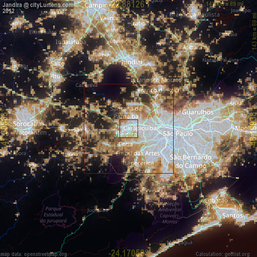
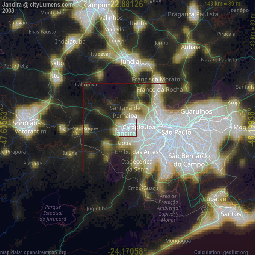
» NASA city lights 2003
» Earth at Night: Flat Maps 2012, 2016