Murici night lights from space
Night Light of Murici (Alagoas) from space (Brazil) Src. Average luminocity for 10x10km area is 14.1558% and for 50x50km: 7.939%.
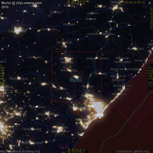
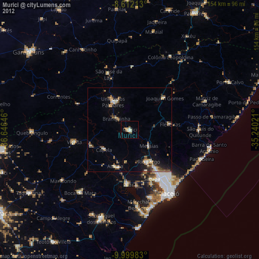
Analysis of Murici night lights 2016
Square area 10x10 km:
 0.65%
0.65%90-99
3.25%80-89
2.6%70-79
0.87%60-69
2.16%50-59
2.6%40-49
0%30-39
1.08%20-29
2.38%10-19
3.68%0-9
80.74%Square area 50x50 km:
0.44%90-99
1.72%80-89
0.77%70-79
0.76%60-69
1.22%50-59
1.36%40-49
1.19%30-39
1.06%20-29
1.89%10-19
5.05%0-9
84.53%Clear (daylight) street map image can be seen on geolist.org.
Map coordinates:
8° 36' 43.7" South, 36° 38' 47.3" West
9° 18' 24" South, 35° 56' 36" West
9° 59' 59.4" South, 35° 14' 24.8" West
Some cities around Murici sort by population:
• Rio Largo
21.5 km =13.4 mi,  152°
152°
• União dos Palmares
18.7 km =11.6 mi,  328°
328°
• Pilar
32.3 km =20.1 mi,  182°
182°
• Atalaia
23.4 km =14.5 mi,  201°
201°
• Satuba
31.4 km =19.5 mi,  155°
155°
• Capela
18.2 km =11.3 mi,  231°
231°
• Messias
14 km =8.7 mi,  127°
127°
• Flexeiras
21.6 km =13.4 mi,  55°
55°
3394116 (p: 20,419)
Sources (retrieved 2019-11-25):
» Earth at Night: Flat Maps 2012, 2016