Rio Largo night lights from space
Night Light of Rio Largo (Alagoas) from space (Brazil) Src. Average luminocity for 10x10km area is 39.6364% and for 50x50km: 19.8952%.
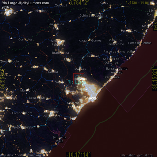
Analysis of Rio Largo night lights 2016
Square area 10x10 km:
 5.19%
5.19%90-99
12.34%80-89
4.76%70-79
4.33%60-69
2.81%50-59
4.33%40-49
5.41%30-39
4.76%20-29
9.96%10-19
29.65%0-9
16.45%Square area 50x50 km:
3.7%90-99
5.17%80-89
1.34%70-79
1.77%60-69
2.23%50-59
2.57%40-49
3.35%30-39
2.94%20-29
4.69%10-19
9.55%0-9
62.69%Clear (daylight) street map image can be seen on geolist.org.
Map coordinates:
8° 47' 2.8" South, 36° 33' 23.3" West
9° 28' 42" South, 35° 51' 12" West
10° 10' 16.1" South, 35° 9' 0.8" West
Some cities around Rio Largo sort by population:
• Maceió
24.5 km =15.2 mi,  148°
148°
• Marechal Deodoro
26.2 km =16.3 mi,  190°
190°
• Pilar
17.4 km =10.8 mi,  220°
220°
• Murici
21.5 km =13.4 mi,  332°
332°
• Atalaia
18.8 km =11.7 mi,  261°
261°
• Satuba
10 km =6.2 mi,  161°
161°
• Capela
25.4 km =15.8 mi,  288°
288°
• Messias
10.6 km =6.6 mi,  6°
6°
3390288 (p: 63,387)
Sources (retrieved 2019-11-25):
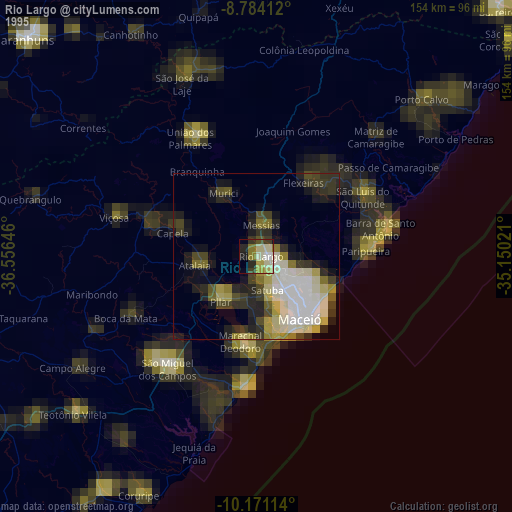
» NASA, Earths city lights 1995
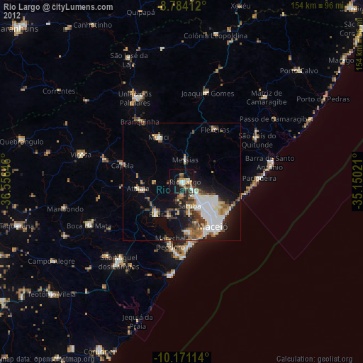
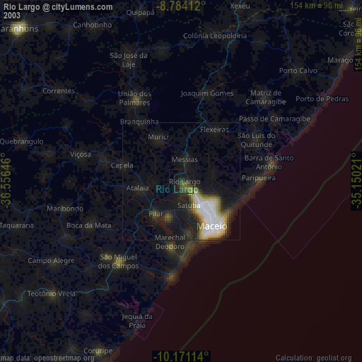
» NASA city lights 2003
» Earth at Night: Flat Maps 2012, 2016