Óbidos night lights from space
Night Light of Óbidos (Pará) from space (Brazil) Src. Average luminocity for 10x10km area is 10.1732% and for 50x50km: 0.4516%.
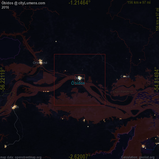
Analysis of Óbidos night lights 2016
Square area 10x10 km:
 1.3%
1.3%90-99
1.95%80-89
2.6%70-79
1.95%60-69
0.87%50-59
0%40-49
0.87%30-39
0.87%20-29
0.43%10-19
0.43%0-9
88.74%Square area 50x50 km:
0.05%90-99
0.08%80-89
0.1%70-79
0.08%60-69
0.03%50-59
0%40-49
0.06%30-39
0.04%20-29
0.02%10-19
0.05%0-9
99.48%Clear (daylight) street map image can be seen on geolist.org.
Map coordinates:
1° 12' 52.7" South, 56° 13' 16.3" West
1° 55' 3" South, 55° 31' 5" West
2° 37' 12.3" South, 54° 48' 53.8" West
Some cities around Óbidos sort by population:
• Santarém
107.3 km =66.7 mi,  123°
123°
• Parintins
156.7 km =97.4 mi,  239°
239°
• Oriximiná
42.2 km =26.2 mi,  293°
293°
• Alenquer
86.7 km =53.9 mi,  91°
91°
• Monte Alegre
160 km =99.4 mi, 93°
• Terra Santa
109.6 km =68.1 mi,  259°
259°
• Juruti
68.9 km =42.8 mi,  247°
247°
• Nhamundá
136.1 km =84.6 mi, 257°
3393768 (p: 24,970)
Sources (retrieved 2019-11-25):
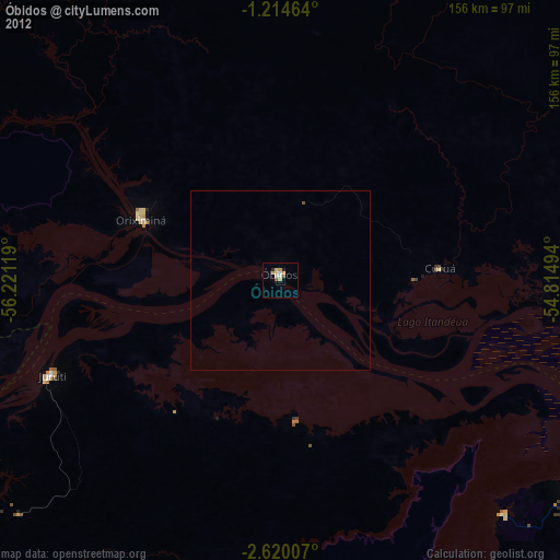
» Earth at Night: Flat Maps 2012, 2016