Manhumirim night lights from space
Night Light of Manhumirim (Minas Gerais) from space (Brazil) Src. Average luminocity for 10x10km area is 8.1174% and for 50x50km: 2.6203%.
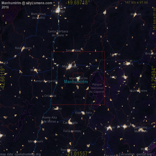
Analysis of Manhumirim night lights 2016
Square area 10x10 km:
 0.95%
0.95%90-99
0.76%80-89
2.08%70-79
0.95%60-69
0.57%50-59
1.52%40-49
1.52%30-39
0%20-29
0.57%10-19
1.14%0-9
89.96%Square area 50x50 km:
0.19%90-99
0.2%80-89
0.42%70-79
0.49%60-69
0.37%50-59
0.38%40-49
0.58%30-39
0.38%20-29
0.33%10-19
0.62%0-9
96.05%Clear (daylight) street map image can be seen on geolist.org.
Map coordinates:
19° 41' 49.8" South, 42° 39' 40.3" West
20° 21' 28" South, 41° 57' 29" West
21° 0' 56.1" South, 41° 15' 17.8" West
Some cities around Manhumirim sort by population:
• Carangola
42.4 km =26.3 mi,  190°
190°
• Guaçuí
54.8 km =34.1 mi,  148°
148°
• Lajinha
41.8 km =26 mi,  56°
56°
• Iúna
44 km =27.3 mi,  88°
88°
• Espera Feliz
33 km =20.5 mi,  170°
170°
• Matipó
40.8 km =25.4 mi,  281°
281°
• Ibatiba
48.7 km =30.3 mi,  73°
73°
• Muniz Freire
58 km =36 mi,  101°
101°
3457950 (p: 15,544)
Sources (retrieved 2019-11-25):
» Earth at Night: Flat Maps 2012, 2016