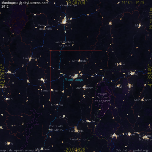
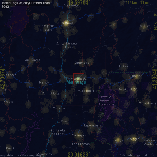
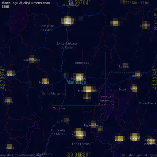
Manhuaçu night lights from space
Night Light of Manhuaçu (Minas Gerais) from space (Brazil) Src. Average luminocity for 10x10km area is 21.0635% and for 50x50km: 2.8568%.
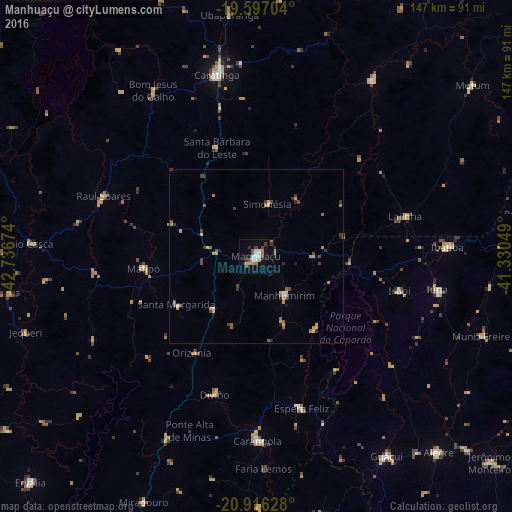
Analysis of Manhuaçu night lights 2016
Square area 10x10 km:
 3.37%
3.37%90-99
3.77%80-89
0.99%70-79
2.98%60-69
2.78%50-59
2.58%40-49
3.17%30-39
2.58%20-29
2.38%10-19
10.12%0-9
65.28%Square area 50x50 km:
0.2%90-99
0.22%80-89
0.43%70-79
0.53%60-69
0.42%50-59
0.51%40-49
0.54%30-39
0.51%20-29
0.38%10-19
0.62%0-9
95.64%Clear (daylight) street map image can be seen on geolist.org.
Map coordinates:
19° 35' 49.3" South, 42° 44' 12.3" West
20° 15' 29" South, 42° 2' 1" West
20° 54' 58.6" South, 41° 19' 49.8" West
Some cities around Manhuaçu sort by population:
• Caratinga
53.2 km =33.1 mi,  348°
348°
• Carangola
52.8 km =32.8 mi,  179°
179°
• Lajinha
44.5 km =27.7 mi,  74°
74°
• Iúna
52.8 km =32.8 mi,  100°
100°
• Espera Feliz
45.6 km =28.3 mi,  163°
163°
• Matipó
32.2 km =20 mi,  264°
264°
• Bom Jesus do Galho
56.1 km =34.9 mi,  328°
328°
• Ibatiba
54.6 km =33.9 mi,  87°
87°
3457952 (p: 54,607)
Sources (retrieved 2019-11-25):
» NASA, Earths city lights 1995
» NASA city lights 2003
» Earth at Night: Flat Maps 2012, 2016