Guarulhos night lights from space
Night Light of Guarulhos (São Paulo) from space (Brazil) Src. Average luminocity for 10x10km area is 98.089% and for 50x50km: 71.7287%.
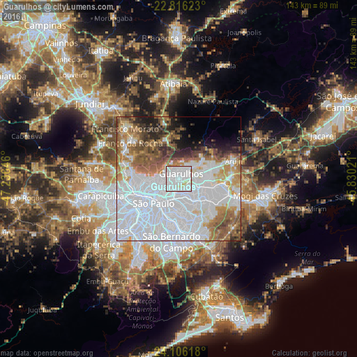

Analysis of Guarulhos night lights 2016
Square area 10x10 km:
 67.99%
90-99
24.62%80-89
4.73%70-79
1.7%60-69
0.95%50-59
0%40-49
0%30-39
0%20-29
0%10-19
0%0-9
0%Square area 50x50 km:
40.41%90-99
10.85%80-89
3.63%70-79
5.78%60-69
7.16%50-59
7.2%40-49
4.57%30-39
3.23%20-29
3.7%10-19
3.84%0-9
9.64%Clear (daylight) street map image can be seen on geolist.org.
Map coordinates:
22° 48' 58.4" South, 47° 14' 11.3" West
23° 27' 46" South, 46° 31' 60" West
24° 6' 22.2" South, 45° 49' 48.8" West
Some cities around Guarulhos sort by population:
• São Paulo
14.1 km =8.8 mi,  228°
228°
• Itaquaquecetuba
19 km =11.8 mi,  97°
97°
• Ferraz de Vasconcelos
18.9 km =11.7 mi,  117°
117°
• São Caetano do Sul
17.9 km =11.1 mi,  185°
185°
• Poá
20.6 km =12.8 mi,  110°
110°
• Jardim Paulista
17.7 km =11 mi, 229°
• Mairiporã
16.9 km =10.5 mi,  341°
341°
• Paraíso
17.3 km =10.7 mi,  223°
223°
3461786 (p: 1,169,577)
Sources (retrieved 2019-11-25):
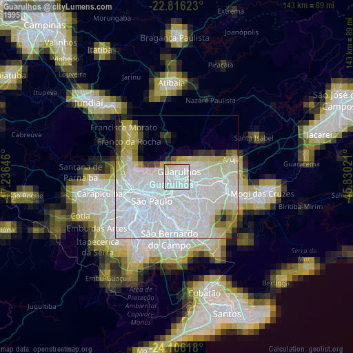
» NASA, Earths city lights 1995
» NASA city lights 2003
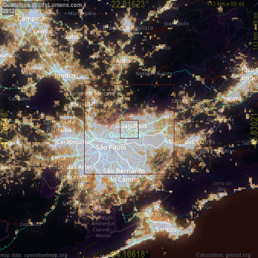
» Earth at Night: Flat Maps 2012, 2016