SĂŁo Paulo night lights from space
Night Light of SĂŁo Paulo from space (Brazil) Src. Average luminocity for 10x10km area is 100% and for 50x50km: 84.6253%.
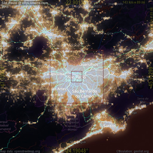
Analysis of SĂŁo Paulo night lights 2016
Square area 10x10 km:
 100%
100%90-99
0%80-89
0%70-79
0%60-69
0%50-59
0%40-49
0%30-39
0%20-29
0%10-19
0%0-9
0%Square area 50x50 km:
49.14%90-99
13.88%80-89
4.67%70-79
7.83%60-69
8.82%50-59
6.15%40-49
4.25%30-39
1.73%20-29
1.48%10-19
1.55%0-9
0.52%Clear (daylight) street map image can be seen on geolist.org.
Map coordinates:
22° 54' 4.9" South, 47° 20' 21.3" West
23° 32' 51" South, 46° 38' 10" West
24° 11' 25.7" South, 45° 55' 58.8" West
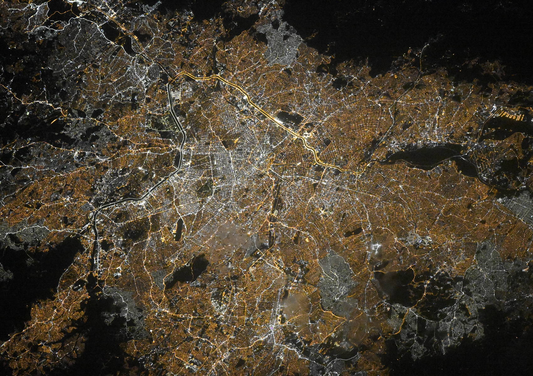
Fantastic image of SĂŁo Paulo from space taken by astronauts [src2], but I don't have information about it's orientation, scale or angle. If necessary, it was rotated manually, so North points approximately to upper direction. Click to zoom in:
Some cities around SĂŁo Paulo sort by population:
• Guarulhos
14.1 km =8.8 mi,  48°
48°
• SĂŁo Bernardo do Campo
17.8 km =11.1 mi,  156°
156°
• Osasco
15.9 km =9.9 mi,  276°
276°
• Santo AndrĂ©
16.3 km =10.1 mi,  142°
142°
• Diadema
15.5 km =9.6 mi,  174°
174°
• SĂŁo Caetano do Sul
12.1 km =7.5 mi,  134°
134°
• Jardim Paulista
3.6 km =2.2 mi,  233°
233°
• ParaĂso
3.5 km =2.2 mi,  205°
205°
3448439 (p: 10,021,295)
Sources (retrieved 2019-11-25):
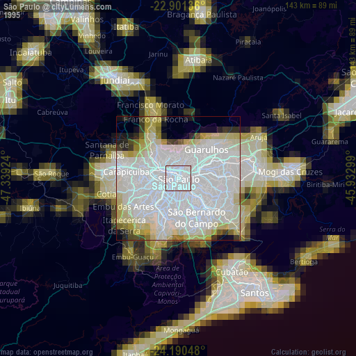
» NASA, Earths city lights 1995
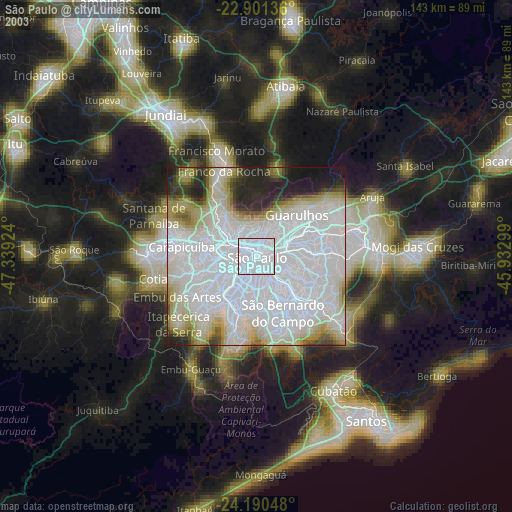
» NASA city lights 2003
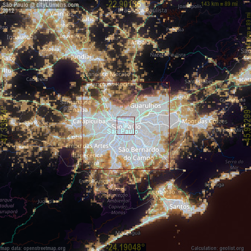
» Earth at Night: Flat Maps 2012, 2016
Src.2: picture by Oleg Kononenko, Roscosmos, retrieved 2019-11-29