Cotia night lights from space
Night Light of Cotia (São Paulo) from space (Brazil) Src. Average luminocity for 10x10km area is 72.869% and for 50x50km: 58.5658%.
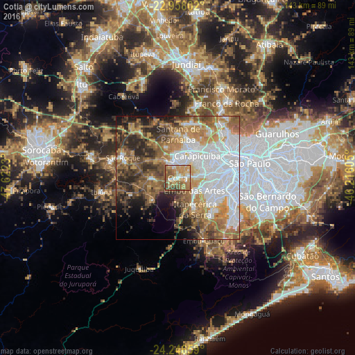

Analysis of Cotia night lights 2016
Square area 10x10 km:
 9.92%
9.92%90-99
10.91%80-89
12.9%70-79
20.83%60-69
21.23%50-59
17.26%40-49
5.95%30-39
0.99%20-29
0%10-19
0%0-9
0%Square area 50x50 km:
19.76%90-99
7.86%80-89
5.14%70-79
9.01%60-69
10.13%50-59
10.11%40-49
7.1%30-39
6.11%20-29
7.63%10-19
5.15%0-9
12.01%Clear (daylight) street map image can be seen on geolist.org.
Map coordinates:
22° 57' 28.9" South, 47° 37' 20.3" West
23° 36' 14" South, 46° 55' 9" West
24° 14' 47.7" South, 46° 12' 57.8" West
Some cities around Cotia sort by population:
• Osasco
15.2 km =9.4 mi,  58°
58°
• Carapicuíba
12.5 km =7.8 mi,  43°
43°
• Barueri
11.3 km =7 mi,  22°
22°
• Embu
8.5 km =5.3 mi,  126°
126°
• Taboão da Serra
13.2 km =8.2 mi,  100°
100°
• Itapevi
6.3 km =3.9 mi,  345°
345°
• Itapecerica da Serra
14.5 km =9 mi,  150°
150°
• Jandira
8.7 km =5.4 mi,  11°
11°
3465284 (p: 174,828)
Sources (retrieved 2019-11-25):
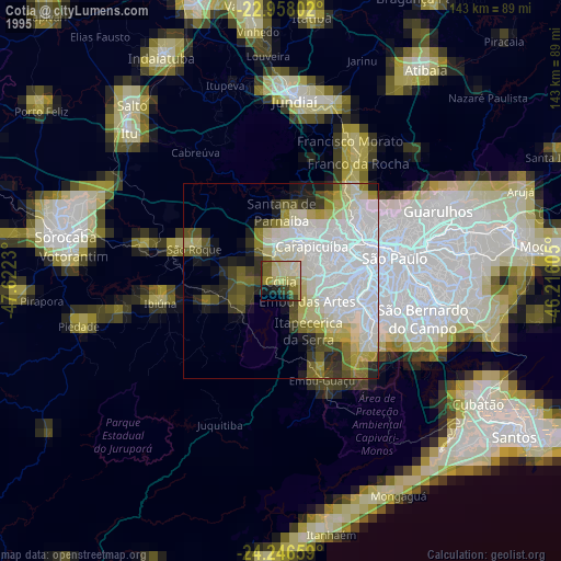
» NASA, Earths city lights 1995
» NASA city lights 2003
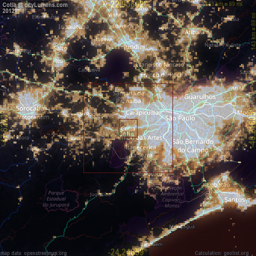
» Earth at Night: Flat Maps 2012, 2016