Ipirá night lights from space
Night Light of Ipirá (Bahia) from space (Brazil) Src. Average luminocity for 10x10km area is 18.6467% and for 50x50km: 1.0529%.
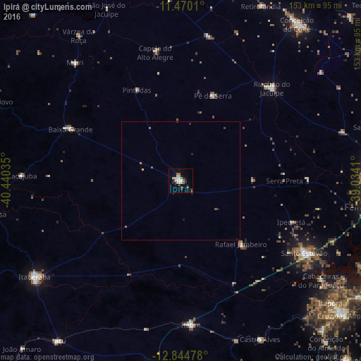
Analysis of Ipirá night lights 2016
Square area 10x10 km:
 2.48%
2.48%90-99
3.93%80-89
1.86%70-79
0.83%60-69
4.96%50-59
1.45%40-49
1.45%30-39
1.86%20-29
2.27%10-19
4.34%0-9
74.59%Square area 50x50 km:
0.1%90-99
0.16%80-89
0.11%70-79
0.07%60-69
0.25%50-59
0.16%40-49
0.08%30-39
0.14%20-29
0.2%10-19
0.24%0-9
98.49%Clear (daylight) street map image can be seen on geolist.org.
Map coordinates:
11° 28' 12.4" South, 40° 26' 25.3" West
12° 9' 30" South, 39° 44' 14" West
12° 50' 41.2" South, 39° 2' 2.8" West
Some cities around Ipirá sort by population:
• Itaberaba
74.3 km =46.2 mi,  236°
236°
• Conceição do Coité
82.5 km =51.3 mi,  36°
36°
• Santo Estêvão
60.8 km =37.8 mi,  119°
119°
• Riachão do Jacuípe
54.7 km =34 mi, 44°
• Castro Alves
75.4 km =46.9 mi,  153°
153°
• Mairi
66.9 km =41.6 mi,  317°
317°
• Anguera
53.4 km =33.2 mi,  89°
89°
• Baixa Grande
51.8 km =32.2 mi,  295°
295°
3461124 (p: 27,217)
Sources (retrieved 2019-11-25):
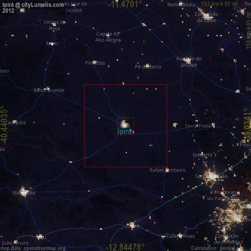
» Earth at Night: Flat Maps 2012, 2016