Leopoldina night lights from space
Night Light of Leopoldina (Minas Gerais) from space (Brazil) Src. Average luminocity for 10x10km area is 18.2917% and for 50x50km: 3.2478%.
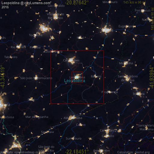
Analysis of Leopoldina night lights 2016
Square area 10x10 km:
 2.46%
2.46%90-99
2.65%80-89
1.33%70-79
4.17%60-69
2.27%50-59
0%40-49
3.22%30-39
4.92%20-29
0.95%10-19
5.3%0-9
72.73%Square area 50x50 km:
0.34%90-99
0.41%80-89
0.2%70-79
0.66%60-69
0.62%50-59
0.14%40-49
0.55%30-39
0.53%20-29
0.52%10-19
1.64%0-9
94.39%Clear (daylight) street map image can be seen on geolist.org.
Map coordinates:
20° 52' 35.1" South, 43° 20' 46.3" West
21° 31' 55" South, 42° 38' 35" West
22° 11' 4.2" South, 41° 56' 23.8" West
Some cities around Leopoldina sort by population:
• Cataguases
16.8 km =10.4 mi,  340°
340°
• Além Paraíba
40.1 km =24.9 mi,  189°
189°
• Santo Antônio de Pádua
47.9 km =29.8 mi,  90°
90°
• São João Nepomuceno
38 km =23.6 mi,  268°
268°
• Carmo
44.8 km =27.8 mi,  175°
175°
• Astolfo Dutra
33.1 km =20.6 mi,  316°
316°
• Recreio
18 km =11.2 mi, 87°
• Miraí
37.6 km =23.4 mi,  4°
4°
3458632 (p: 46,742)
Sources (retrieved 2019-11-25):
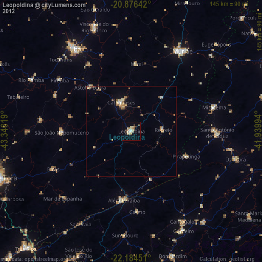
» Earth at Night: Flat Maps 2012, 2016