Além Paraíba night lights from space
Night Light of Além Paraíba (Minas Gerais) from space (Brazil) Src. Average luminocity for 10x10km area is 20.3175% and for 50x50km: 2.1291%.
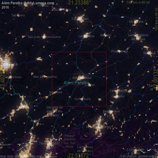
Analysis of Além Paraíba night lights 2016
Square area 10x10 km:
 1.98%
1.98%90-99
1.19%80-89
2.18%70-79
5.16%60-69
6.75%50-59
0.99%40-49
3.97%30-39
1.59%20-29
0%10-19
9.52%0-9
66.67%Square area 50x50 km:
0.11%90-99
0.08%80-89
0.23%70-79
0.61%60-69
0.37%50-59
0.31%40-49
0.63%30-39
0.27%20-29
0.18%10-19
0.48%0-9
96.74%Clear (daylight) street map image can be seen on geolist.org.
Map coordinates:
21° 14' 1.9" South, 43° 24' 27.3" West
21° 53' 16" South, 42° 42' 16" West
22° 32' 19.4" South, 42° 0' 4.8" West
Some cities around Além Paraíba sort by population:
• Leopoldina
40.1 km =24.9 mi,  9°
9°
• Cordeiro
38.7 km =24 mi,  113°
113°
• Cantagalo
36.2 km =22.5 mi, 106°
• Bicas
40.9 km =25.4 mi,  296°
296°
• Sapucaia
24.7 km =15.3 mi,  241°
241°
• Carmo
11.1 km =6.9 mi,  117°
117°
• Mar de Espanha
31.6 km =19.6 mi,  274°
274°
• Recreio
47.1 km =29.3 mi,  31°
31°
3472609 (p: 33,907)
Sources (retrieved 2019-11-25):
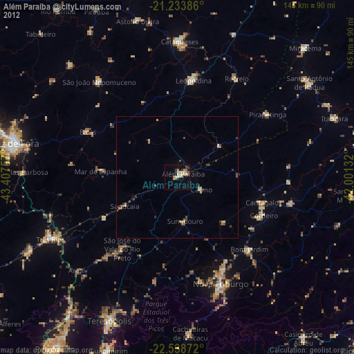
» Earth at Night: Flat Maps 2012, 2016