Santo Antônio de Pádua night lights from space
Night Light of Santo Antônio de Pádua (Rio de Janeiro) from space (Brazil) Src. Average luminocity for 10x10km area is 19.5663% and for 50x50km: 3.6719%.
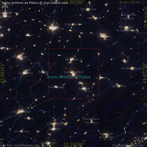
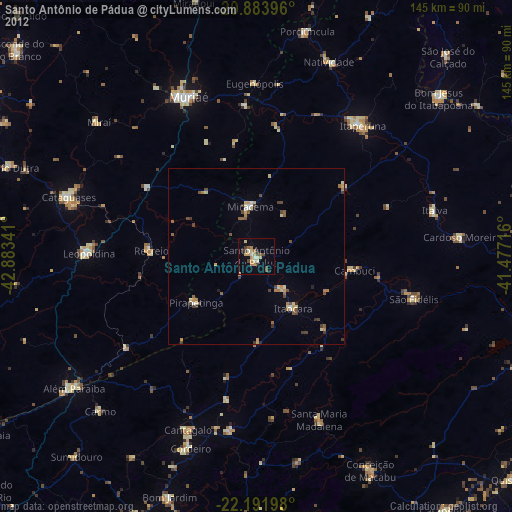
Analysis of Santo Antônio de Pádua night lights 2016
Square area 10x10 km:
 1.33%
1.33%90-99
1.33%80-89
2.65%70-79
6.25%60-69
2.08%50-59
2.46%40-49
3.03%30-39
0.57%20-29
4.17%10-19
8.52%0-9
67.61%Square area 50x50 km:
0.23%90-99
0.35%80-89
0.38%70-79
0.64%60-69
0.57%50-59
0.42%40-49
0.88%30-39
0.49%20-29
0.57%10-19
0.93%0-9
94.53%Clear (daylight) street map image can be seen on geolist.org.
Map coordinates:
20° 53' 2.3" South, 42° 53' 0.3" West
21° 32' 22" South, 42° 10' 49" West
22° 11' 31.1" South, 41° 28' 37.8" West
Some cities around Santo Antônio de Pádua sort by population:
• Muriaé
49.4 km =30.7 mi,  337°
337°
• Itaperuna
48 km =29.8 mi,  39°
39°
• Leopoldina
47.9 km =29.8 mi,  270°
270°
• São Fidélis
46.3 km =28.8 mi,  104°
104°
• Miracema
14.2 km =8.8 mi,  353°
353°
• Itaocara
18 km =11.2 mi,  143°
143°
• Cambuci
28.1 km =17.5 mi, 98°
• Recreio
29.9 km =18.6 mi, 273°
3449519 (p: 33,076)
Sources (retrieved 2019-11-25):
» Earth at Night: Flat Maps 2012, 2016