Juazeiro do Norte night lights from space
Night Light of Juazeiro do Norte (Ceará) from space (Brazil) Src. Average luminocity for 10x10km area is 82.5108% and for 50x50km: 14.4103%.
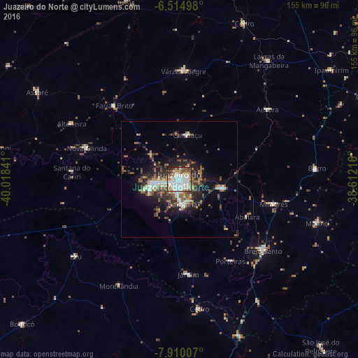
Analysis of Juazeiro do Norte night lights 2016
Square area 10x10 km:
 32.9%
32.9%90-99
24.89%80-89
5.84%70-79
6.93%60-69
10.39%50-59
6.49%40-49
8.01%30-39
2.38%20-29
2.16%10-19
0%0-9
0%Square area 50x50 km:
2.19%90-99
2.47%80-89
1.19%70-79
0.95%60-69
2.4%50-59
2.6%40-49
2.39%30-39
2.95%20-29
4.16%10-19
6.89%0-9
71.81%Clear (daylight) street map image can be seen on geolist.org.
Map coordinates:
6° 30' 53.9" South, 40° 1' 6.3" West
7° 12' 47" South, 39° 18' 55" West
7° 54' 36.3" South, 38° 36' 43.8" West
Some cities around Juazeiro do Norte sort by population:
• Crato
10.6 km =6.6 mi,  257°
257°
• Barbalha
11 km =6.8 mi,  173°
173°
• Brejo Santo
47.7 km =29.6 mi,  130°
130°
• Missão Velha
19.4 km =12.1 mi,  102°
102°
• Caririaçu
19.3 km =12 mi,  10°
10°
• Milagres
42.3 km =26.3 mi,  105°
105°
• Farias Brito
41.8 km =26 mi,  318°
318°
• Aurora
48.8 km =30.3 mi,  51°
51°
3397147 (p: 225,230)
Sources (retrieved 2019-11-25):
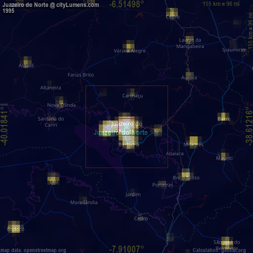
» NASA, Earths city lights 1995
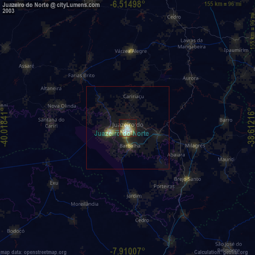
» NASA city lights 2003
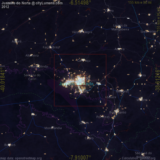
» Earth at Night: Flat Maps 2012, 2016