Brejo Santo night lights from space
Night Light of Brejo Santo (Ceará) from space (Brazil) Src. Average luminocity for 10x10km area is 24.8853% and for 50x50km: 4.1434%.
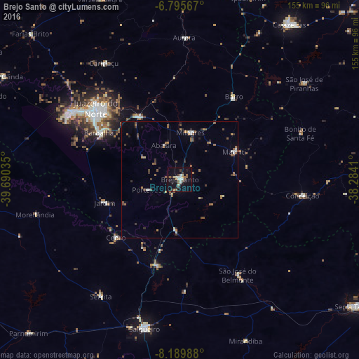
Analysis of Brejo Santo night lights 2016
Square area 10x10 km:
 4.11%
4.11%90-99
3.68%80-89
2.6%70-79
1.73%60-69
3.25%50-59
4.33%40-49
2.38%30-39
3.46%20-29
3.46%10-19
23.81%0-9
47.19%Square area 50x50 km:
0.33%90-99
0.45%80-89
0.23%70-79
0.53%60-69
0.71%50-59
1.03%40-49
0.48%30-39
0.85%20-29
0.61%10-19
1.29%0-9
93.49%Clear (daylight) street map image can be seen on geolist.org.
Map coordinates:
6° 47' 44.4" South, 39° 41' 25.3" West
7° 29' 36" South, 38° 59' 14" West
8° 11' 23.6" South, 38° 17' 2.8" West
Some cities around Brejo Santo sort by population:
• Juazeiro do Norte
47.7 km =29.6 mi,  310°
310°
• Crato
54.8 km =34.1 mi,  301°
301°
• Barbalha
40.4 km =25.1 mi, 300°
• São José do Belmonte
48 km =29.8 mi,  148°
148°
• Missão Velha
32.1 km =19.9 mi,  327°
327°
• Caririaçu
59.9 km =37.2 mi, 326°
• Milagres
20.5 km =12.7 mi,  12°
12°
• Aurora
61.3 km =38.1 mi,  2°
2°
3404833 (p: 27,384)
Sources (retrieved 2019-11-25):
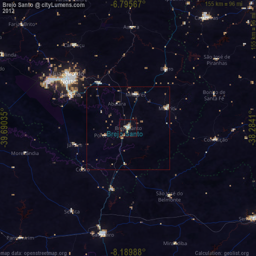
» Earth at Night: Flat Maps 2012, 2016