Itu night lights from space
Night Light of Itu (São Paulo) from space (Brazil) Src. Average luminocity for 10x10km area is 68.1705% and for 50x50km: 35.6391%.
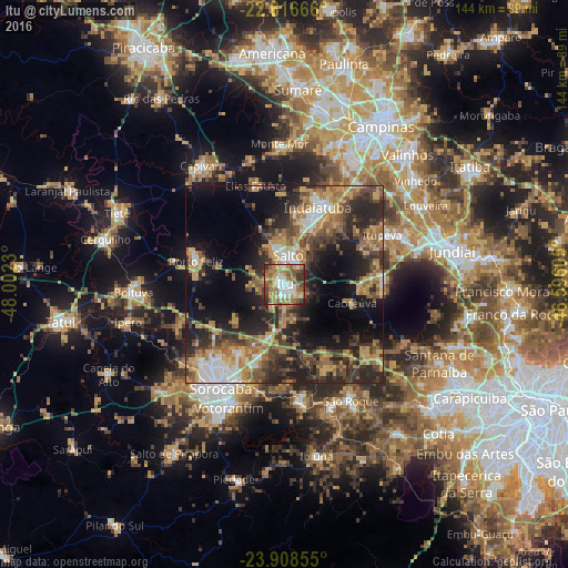
Analysis of Itu night lights 2016
Square area 10x10 km:
 11.74%
90-99
11.74%80-89
8.71%70-79
12.69%60-69
18.18%50-59
14.77%40-49
10.42%30-39
7.77%20-29
3.98%10-19
0%0-9
0%Square area 50x50 km:
3.73%90-99
3.69%80-89
4.72%70-79
6.91%60-69
6.72%50-59
6.14%40-49
6.07%30-39
7.85%20-29
12.6%10-19
14.88%0-9
26.7%Clear (daylight) street map image can be seen on geolist.org.
Map coordinates:
22° 36' 60" South, 48° 0' 8.3" West
23° 15' 51" South, 47° 17' 57" West
23° 54' 30.8" South, 46° 35' 45.8" West
Some cities around Itu sort by population:
• Sorocaba
31 km =19.3 mi,  211°
211°
• Indaiatuba
21.5 km =13.4 mi,  24°
24°
• Salto
7.2 km =4.5 mi,  10°
10°
• Mairinque
33.5 km =20.8 mi,  159°
159°
• Porto Feliz
23.6 km =14.7 mi,  283°
283°
• Cabreúva
17.7 km =11 mi,  105°
105°
• Itupeva
27.6 km =17.1 mi,  63°
63°
• Elias Fausto
25.8 km =16 mi,  342°
342°
3460535 (p: 137,586)
Sources (retrieved 2019-11-25):
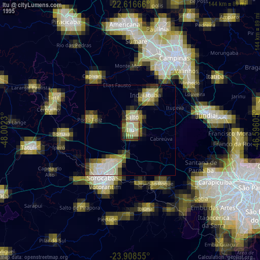
» NASA, Earths city lights 1995
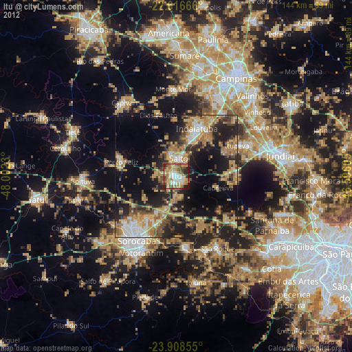
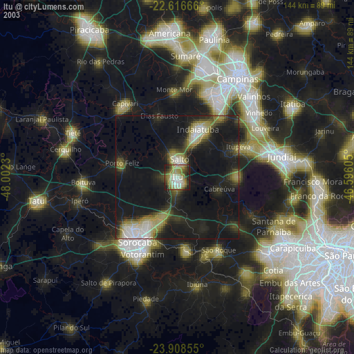
» NASA city lights 2003
» Earth at Night: Flat Maps 2012, 2016