Itararé night lights from space
Night Light of Itararé (São Paulo) from space (Brazil) Src. Average luminocity for 10x10km area is 18.3826% and for 50x50km: 1.3957%.
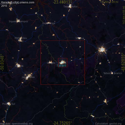
Analysis of Itararé night lights 2016
Square area 10x10 km:
 2.08%
2.08%90-99
2.65%80-89
2.08%70-79
5.11%60-69
1.7%50-59
2.27%40-49
1.7%30-39
1.14%20-29
0.95%10-19
5.11%0-9
75.19%Square area 50x50 km:
0.12%90-99
0.14%80-89
0.16%70-79
0.34%60-69
0.16%50-59
0.18%40-49
0.27%30-39
0.12%20-29
0.26%10-19
0.28%0-9
97.98%Clear (daylight) street map image can be seen on geolist.org.
Map coordinates:
23° 28' 8.9" South, 50° 2' 5.3" West
24° 6' 45" South, 49° 19' 54" West
24° 45' 9.5" South, 48° 37' 42.8" West
Some cities around Itararé sort by population:
• Itapeva
48.5 km =30.1 mi,  72°
72°
• Jaguariaíva
41 km =25.5 mi,  249°
249°
• Taquarituba
65 km =40.4 mi,  7°
7°
• Wenceslau Braz
54.7 km =34 mi,  299°
299°
• Sengés
13.3 km =8.3 mi,  269°
269°
• Itaberá
34.2 km =21.3 mi,  35°
35°
• Itaporanga
47.8 km =29.7 mi,  340°
340°
• Ribeirão Branco
58.7 km =36.5 mi,  101°
101°
3460620 (p: 44,809)
Sources (retrieved 2019-11-25):
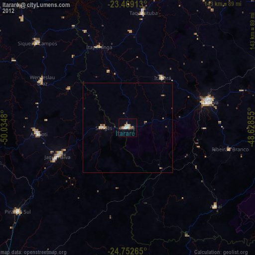
» Earth at Night: Flat Maps 2012, 2016