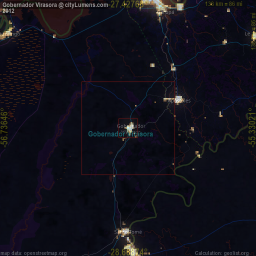
Gobernador Virasora night lights from space
Night Light of Gobernador Virasora (Corrientes) from space (Argentina) Src. Average luminocity for 10x10km area is 17.5814% and for 50x50km: 1.3065%.

Analysis of Gobernador Virasora night lights 2016
Square area 10x10 km:
 3.79%
3.79%90-99
2.27%80-89
3.6%70-79
1.52%60-69
1.14%50-59
2.08%40-49
0.76%30-39
1.14%20-29
1.14%10-19
6.82%0-9
75.76%Square area 50x50 km:
0.15%90-99
0.09%80-89
0.27%70-79
0.11%60-69
0.17%50-59
0.14%40-49
0.17%30-39
0.17%20-29
0.08%10-19
0.64%0-9
97.99%Clear (daylight) street map image can be seen on geolist.org.
Map coordinates:
27° 25' 39.6" South, 56° 44' 11.3" West
28° 3' 0" South, 56° 1' 60" West
28° 40' 7.5" South, 55° 19' 48.8" West
Some cities around Gobernador Virasora sort by population:
• Posadas
77.1 km =47.9 mi,  10°
10°
• São Borja, BR
67.9 km =42.2 mi,  177°
177°
• Garupá
66.3 km =41.2 mi,  17°
17°
• Santo Tomé
55.5 km =34.5 mi, 180°
• Candelaria
71.5 km =44.4 mi, 23°
• Concepción de la Sierra
50.9 km =31.6 mi,  81°
81°
• San José
39.7 km =24.7 mi,  38°
38°
• Cerro Azul
70.3 km =43.7 mi,  48°
48°
3433753 (p: 28,756)
Sources (retrieved 2019-11-25):
» Earth at Night: Flat Maps 2012, 2016