Itápolis night lights from space
Night Light of Itápolis (São Paulo) from space (Brazil) Src. Average luminocity for 10x10km area is 24.2273% and for 50x50km: 3.6304%.
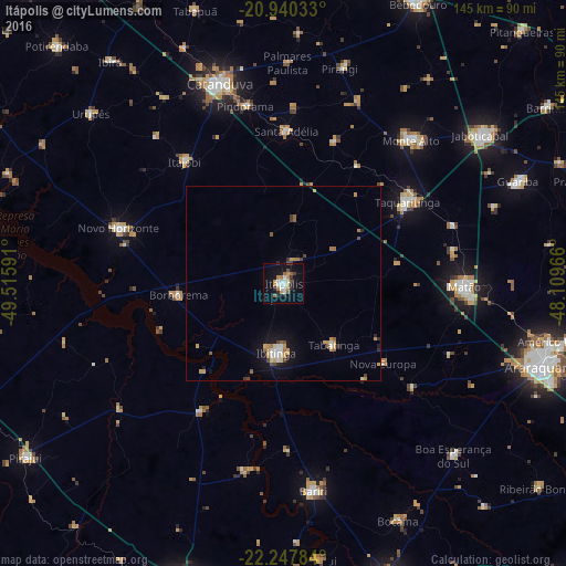
Analysis of Itápolis night lights 2016
Square area 10x10 km:
 3.6%
3.6%90-99
4.55%80-89
0.95%70-79
4.36%60-69
3.79%50-59
1.89%40-49
1.7%30-39
2.46%20-29
4.55%10-19
22.92%0-9
49.24%Square area 50x50 km:
0.42%90-99
0.45%80-89
0.3%70-79
0.86%60-69
0.43%50-59
0.39%40-49
0.4%30-39
0.28%20-29
0.45%10-19
2.73%0-9
93.29%Clear (daylight) street map image can be seen on geolist.org.
Map coordinates:
20° 56' 25.2" South, 49° 30' 57.3" West
21° 35' 44" South, 48° 48' 46" West
22° 14' 52.2" South, 48° 6' 34.8" West
Some cities around Itápolis sort by population:
• Matão
46.2 km =28.7 mi,  91°
91°
• Taquaritinga
38.2 km =23.7 mi,  56°
56°
• Ibitinga
18.1 km =11.2 mi,  185°
185°
• Novo Horizonte
44.5 km =27.7 mi,  288°
288°
• Santa Adélia
39.2 km =24.4 mi,  1°
1°
• Itajobi
39.7 km =24.7 mi,  320°
320°
• Borborema
27.1 km =16.8 mi,  264°
264°
• Tabatinga
18.7 km =11.6 mi,  136°
136°
3460671 (p: 34,552)
Sources (retrieved 2019-11-25):
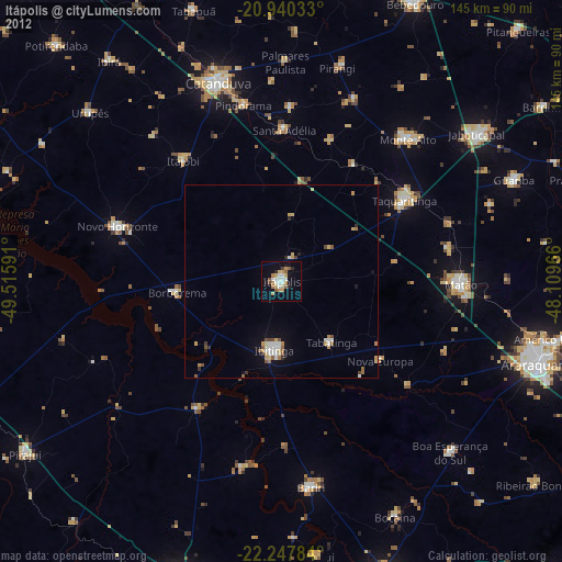
» Earth at Night: Flat Maps 2012, 2016