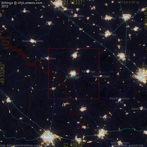
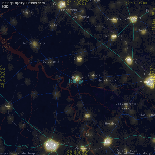
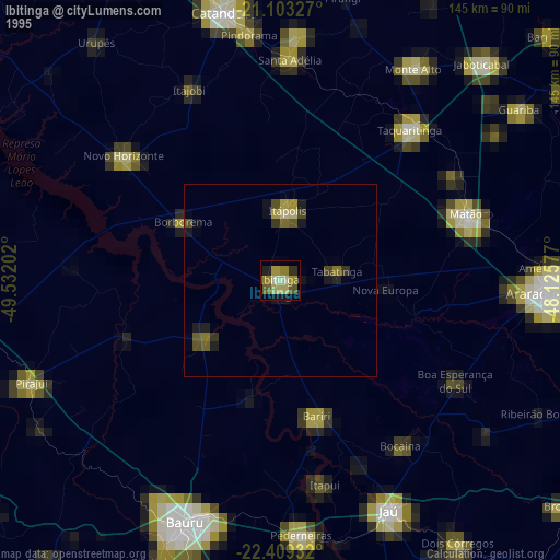
Ibitinga night lights from space
Night Light of Ibitinga (São Paulo) from space (Brazil) Src. Average luminocity for 10x10km area is 31.7341% and for 50x50km: 3.7811%.
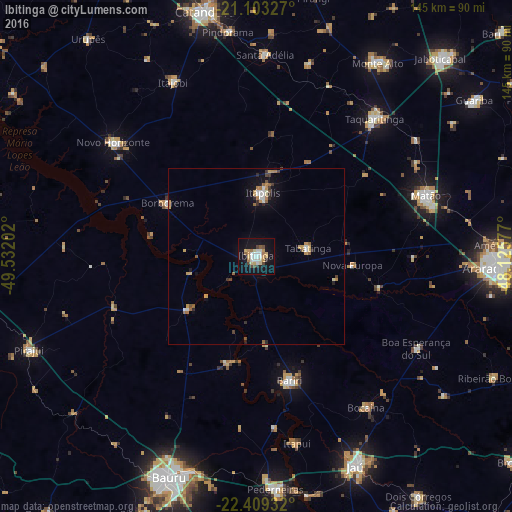
Analysis of Ibitinga night lights 2016
Square area 10x10 km:
 6.15%
6.15%90-99
4.96%80-89
5.16%70-79
5.95%60-69
2.38%50-59
1.79%40-49
4.56%30-39
0%20-29
1.79%10-19
40.87%0-9
26.39%Square area 50x50 km:
0.46%90-99
0.49%80-89
0.35%70-79
0.81%60-69
0.47%50-59
0.42%40-49
0.39%30-39
0.24%20-29
0.46%10-19
2.75%0-9
93.16%Clear (daylight) street map image can be seen on geolist.org.
Map coordinates:
21° 6' 11.8" South, 49° 31' 55.3" West
21° 45' 28" South, 48° 49' 44" West
22° 24' 33.6" South, 48° 7' 32.8" West
Some cities around Ibitinga sort by population:
• Matão
50.8 km =31.6 mi,  70°
70°
• Taquaritinga
51.5 km =32 mi,  40°
40°
• Itápolis
18.1 km =11.2 mi,  5°
5°
• Novo Horizonte
51.8 km =32.2 mi,  308°
308°
• Bariri
36.4 km =22.6 mi,  165°
165°
• Borborema
29.6 km =18.4 mi,  301°
301°
• Tabatinga
15.3 km =9.5 mi, 72°
• Boa Esperança do Sul
52.2 km =32.4 mi,  120°
120°
3461550 (p: 49,074)
Sources (retrieved 2019-11-25):
» NASA, Earths city lights 1995
» NASA city lights 2003
» Earth at Night: Flat Maps 2012, 2016