Caxambu night lights from space
Night Light of Caxambu (Minas Gerais) from space (Brazil) Src. Average luminocity for 10x10km area is 16.5595% and for 50x50km: 2.4777%.
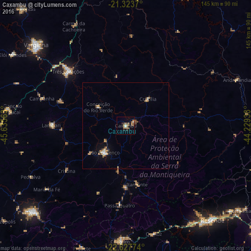

Analysis of Caxambu night lights 2016
Square area 10x10 km:
 1.39%
1.39%90-99
0.99%80-89
0.79%70-79
2.98%60-69
6.35%50-59
2.58%40-49
2.98%30-39
2.18%20-29
0.79%10-19
2.98%0-9
75.99%Square area 50x50 km:
0.18%90-99
0.31%80-89
0.18%70-79
0.46%60-69
0.74%50-59
0.18%40-49
0.26%30-39
0.36%20-29
0.22%10-19
0.89%0-9
96.22%Clear (daylight) street map image can be seen on geolist.org.
Map coordinates:
21° 19' 25.3" South, 45° 38' 8.3" West
21° 58' 38" South, 44° 55' 57" West
22° 37' 39.9" South, 44° 13' 45.8" West
Some cities around Caxambu sort by population:
• Três Corações
45.5 km =28.3 mi,  313°
313°
• São Lourenço
19.9 km =12.4 mi,  219°
219°
• Lambari
43.1 km =26.8 mi,  270°
270°
• Baependi
4.8 km =3 mi,  65°
65°
• Cruzília
20 km =12.4 mi,  39°
39°
• Conceição do Rio Verde
19.1 km =11.9 mi,  304°
304°
• Itanhandu
35.4 km =22 mi,  180°
180°
• Cambuquira
40 km =24.9 mi,  290°
290°
3466547 (p: 22,701)
Sources (retrieved 2019-11-25):
» Earth at Night: Flat Maps 2012, 2016