Itaberaba night lights from space
Night Light of Itaberaba (Bahia) from space (Brazil) Src. Average luminocity for 10x10km area is 32.9004% and for 50x50km: 1.5891%.
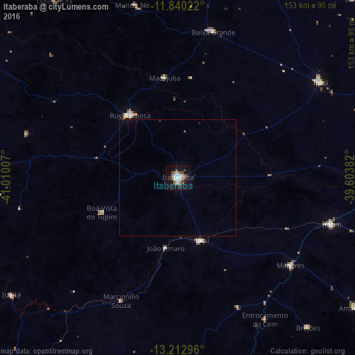
Analysis of Itaberaba night lights 2016
Square area 10x10 km:
 5.84%
5.84%90-99
8.44%80-89
1.73%70-79
1.52%60-69
3.9%50-59
6.28%40-49
4.33%30-39
3.9%20-29
3.46%10-19
35.71%0-9
24.89%Square area 50x50 km:
0.23%90-99
0.33%80-89
0.07%70-79
0.06%60-69
0.15%50-59
0.28%40-49
0.17%30-39
0.15%20-29
0.2%10-19
1.49%0-9
96.86%Clear (daylight) street map image can be seen on geolist.org.
Map coordinates:
11° 50' 24.8" South, 41° 0' 36.3" West
12° 31' 39" South, 40° 18' 25" West
13° 12' 46.7" South, 39° 36' 13.8" West
Some cities around Itaberaba sort by population:
• Vera Cruz
79.7 km =49.5 mi,  261°
261°
• Ipirá
74.3 km =46.2 mi,  56°
56°
• Iaçu
28.6 km =17.8 mi,  158°
158°
• Ruy Barbosa
33.9 km =21.1 mi,  323°
323°
• Tapiramutá
92.2 km =57.3 mi,  325°
325°
• Mundo Novo
76.5 km =47.5 mi,  346°
346°
• Terra Nova
43 km =26.7 mi,  294°
294°
• Baixa Grande
64.9 km =40.3 mi,  13°
13°
3460966 (p: 47,301)
Sources (retrieved 2019-11-25):
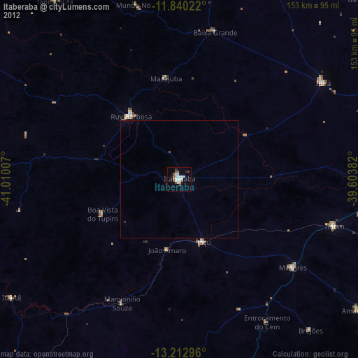
» Earth at Night: Flat Maps 2012, 2016